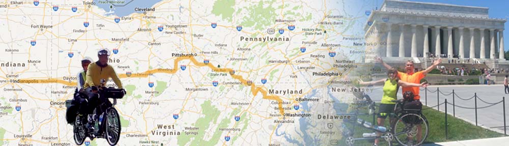
 The Erie Canal, also know as “Clinton’s Big Ditch” broke ground July 4th, 1817 and was completed on October 26, 1825, it was the engineering marvel of its day. It included 18 aqueducts to carry the canal over ravines and rivers, and 83 locks, with a rise of 568 feet from the Hudson River to Lake Erie.
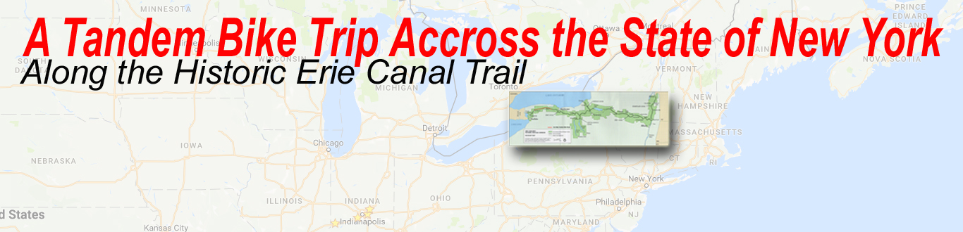
 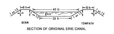 It was 4 feet deep and 40 feet wide, and floated boats carrying 30 tons of freight. A ten foot wide towpath was built along the bank of the canal for the horses and/or mules to walk while pulling the boats and their driver along the canal. This towpath is what we, on our tandem bike will take for a journey of our own. Though the Canal ended in the city of Buffalo NY, the canal is no longer there in the city. So we will start in Niagara Falls and catch up with the canal in Lockport NY.
  Day 1 Saturday:
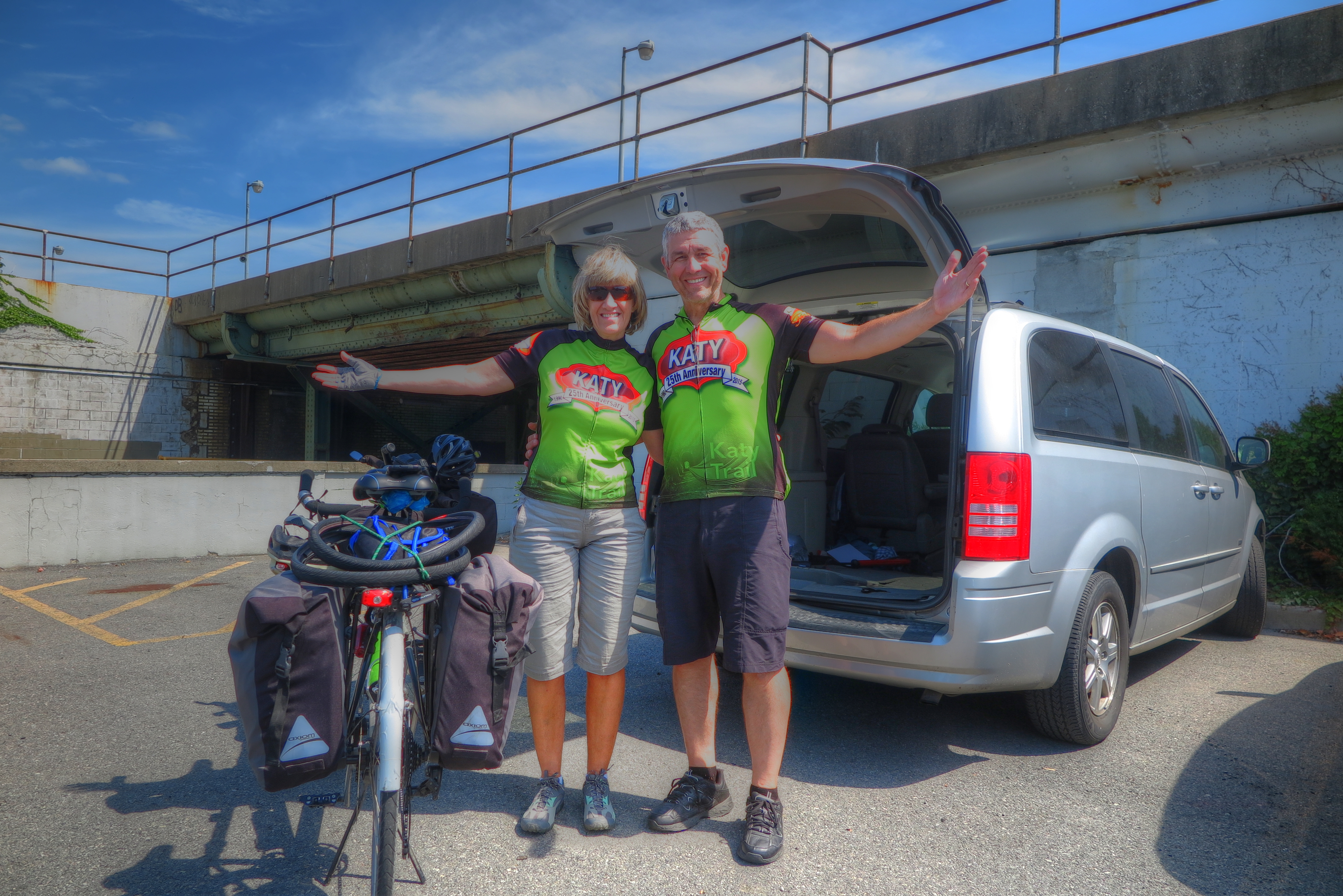
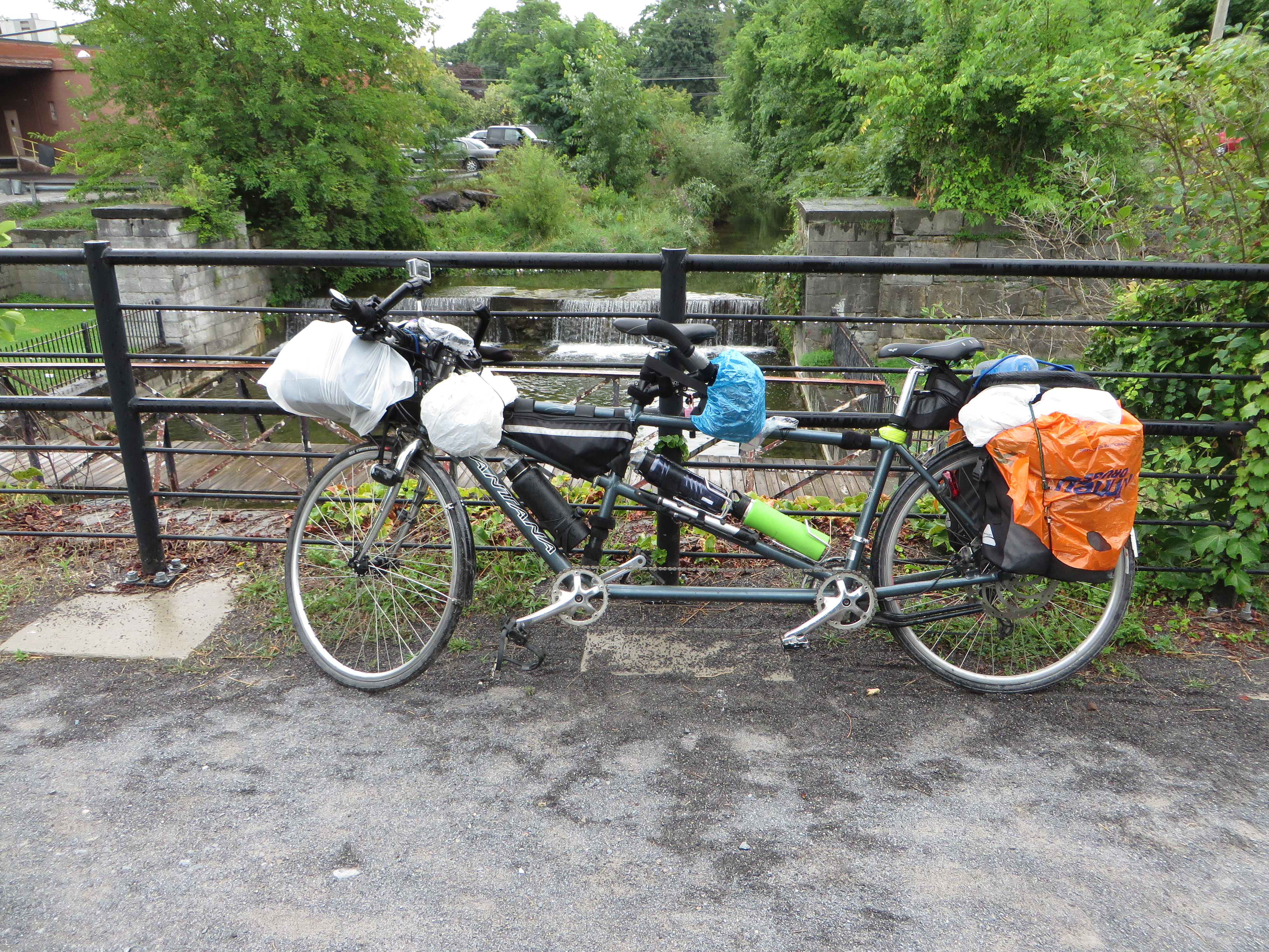
 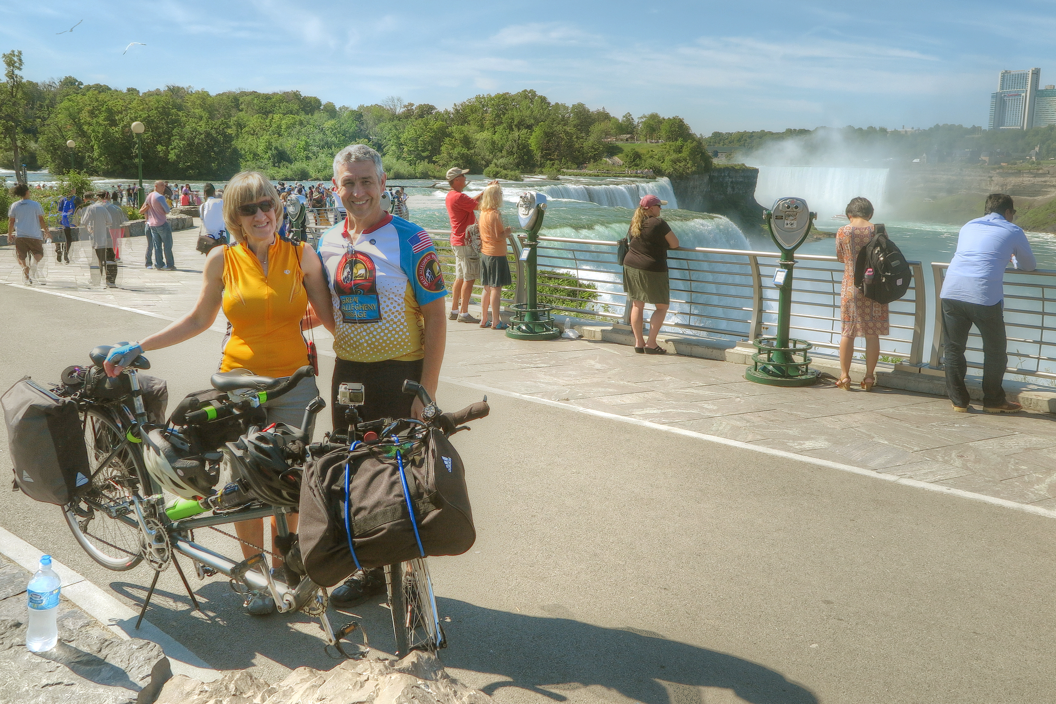 Our trip started trip with a drive in our van to Buffalo NY where Ken dropped me and the bike off at the hotel. He continued driving the van on to Schenectady. He parked the van at the Schenectady train station long term parking and rode the train back to Buffalo (got back around 11:30pm) Day 1 We slept in a while and hit the road around 9:30am. We didn’t get 2 miles when we saw this sign. While trying to figure out our new route, Ken realized the front panier bracket was broken.
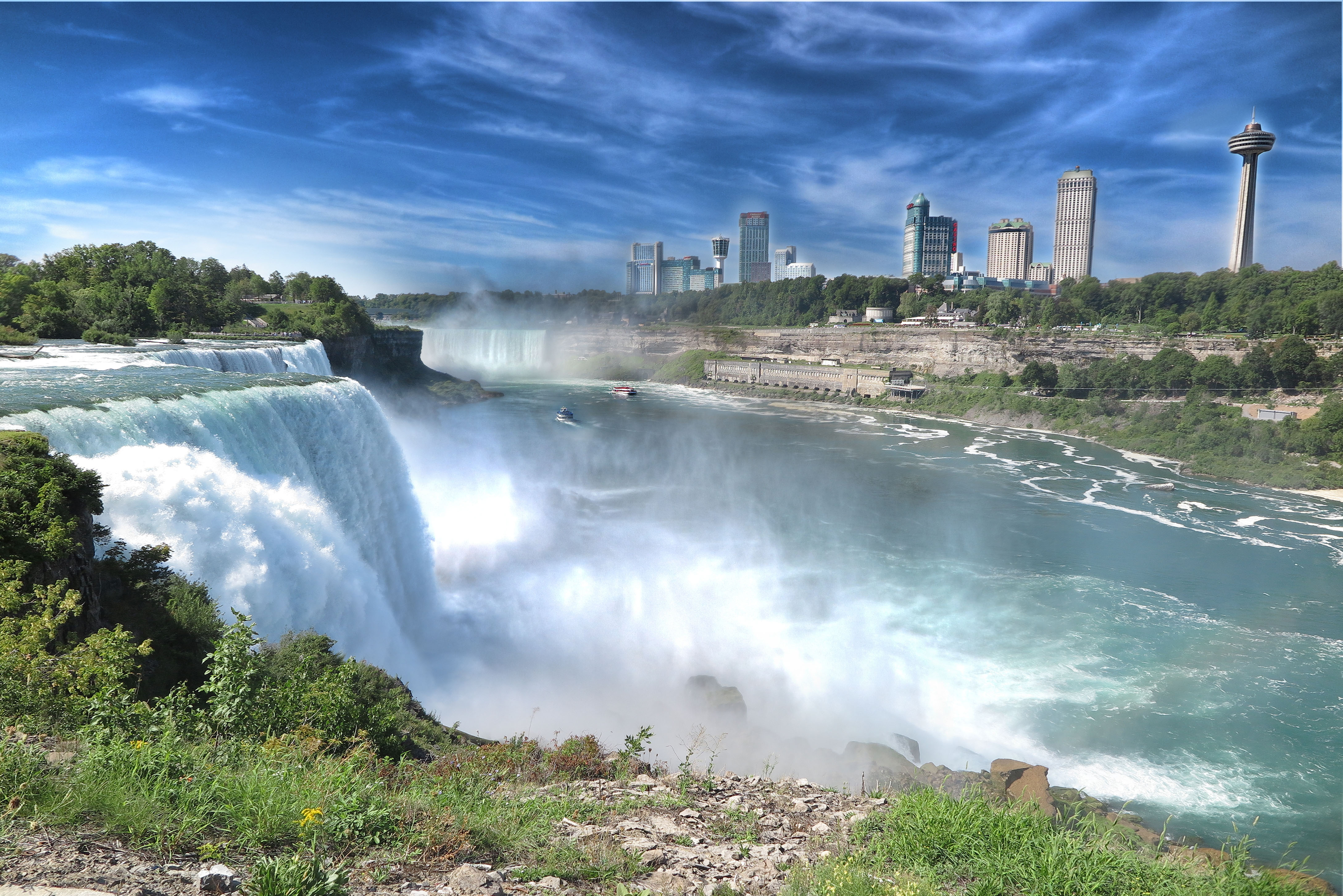 After some rigging and weight redistribution, we’re back on the road. The falls were a short ride and, of course, beautiful!
 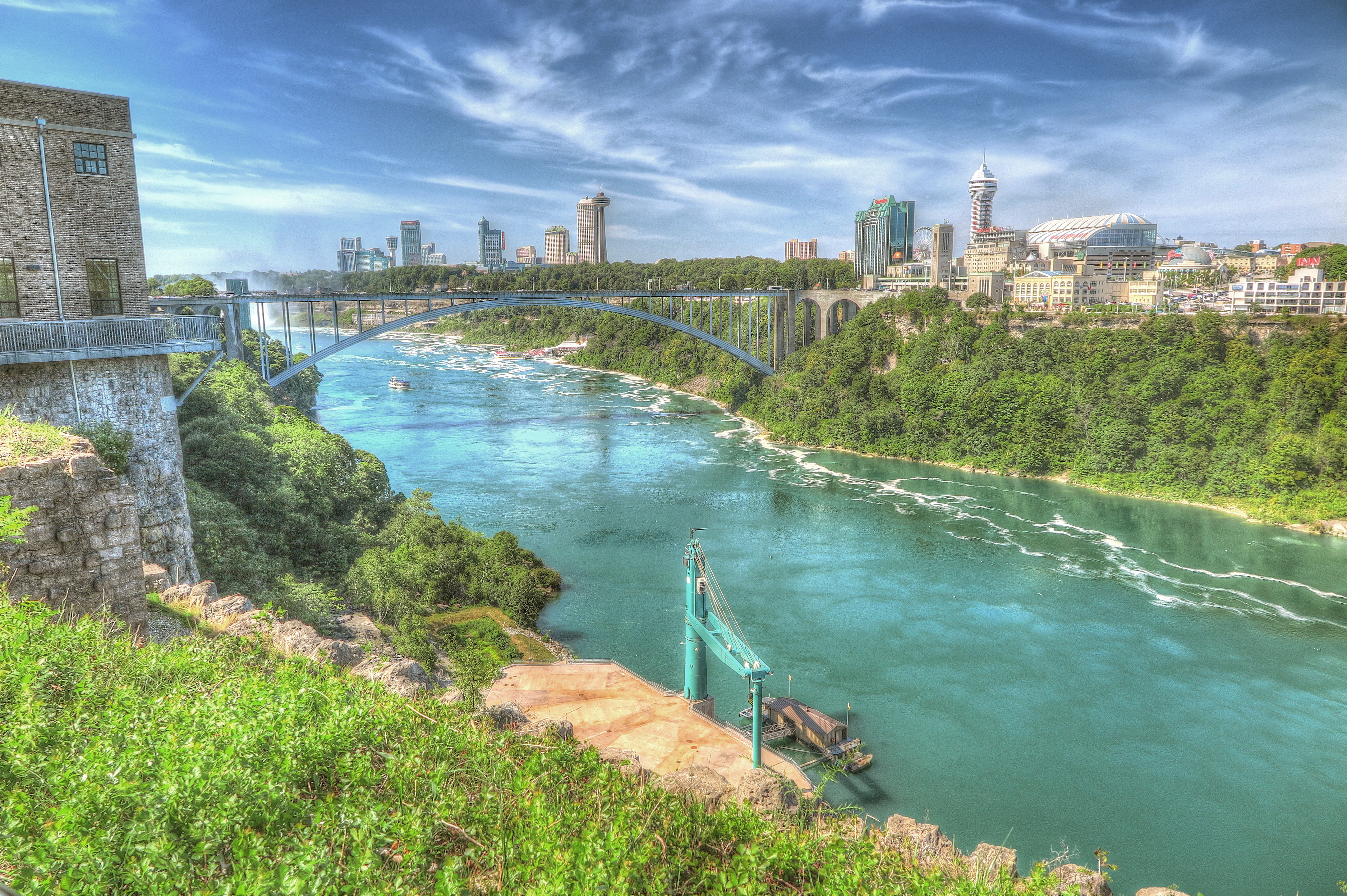 The rest of the day was uneventful. Upstate rural NY is very much like Indiana. We rode past miles of farm country with the major difference in the crops. We are in wine country and rode past acres and acres of vineyards! Maybe next time we we’ll bike the Niagara County Wine Trail!
 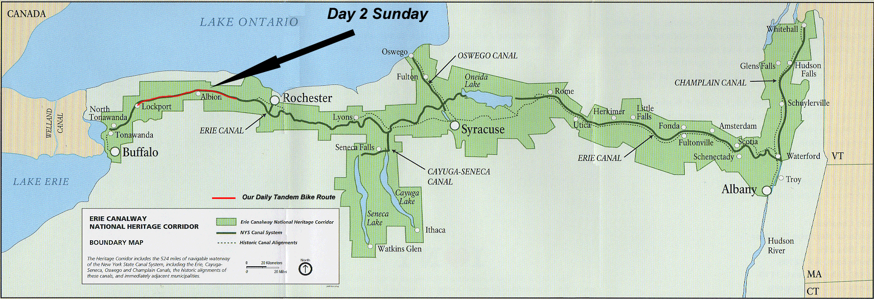 Day 2 Sunday
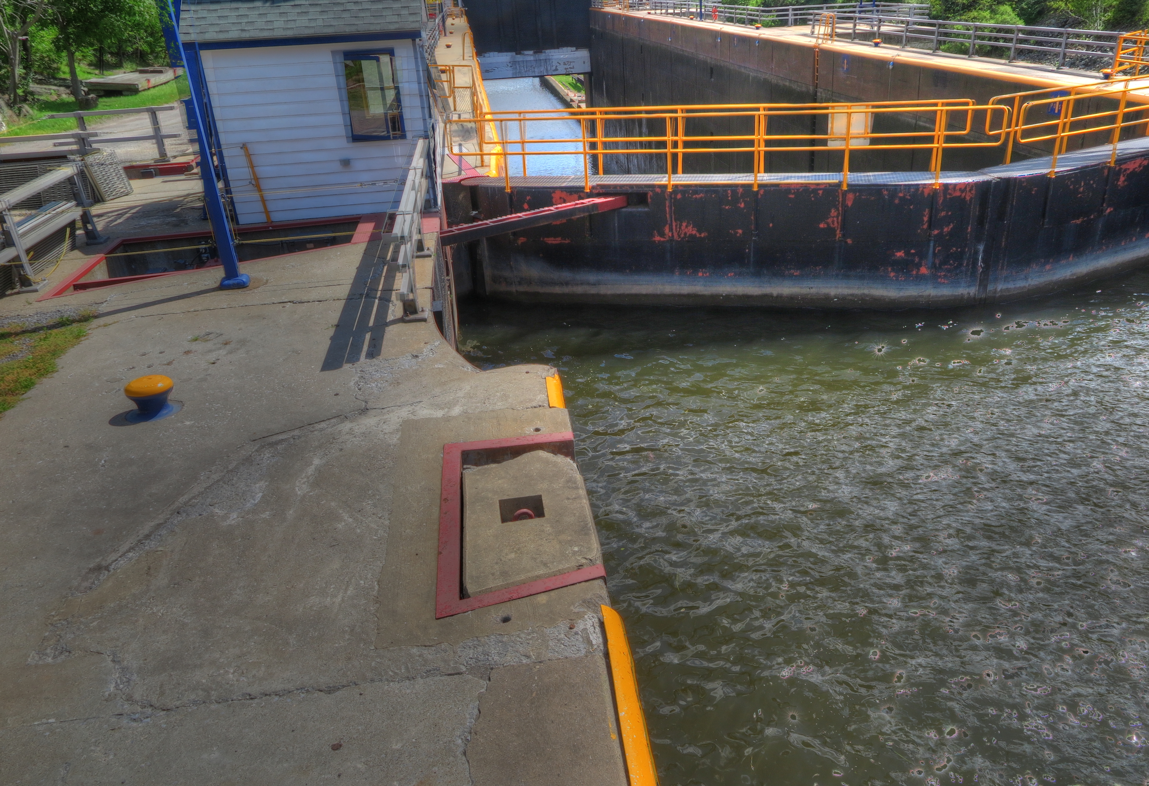
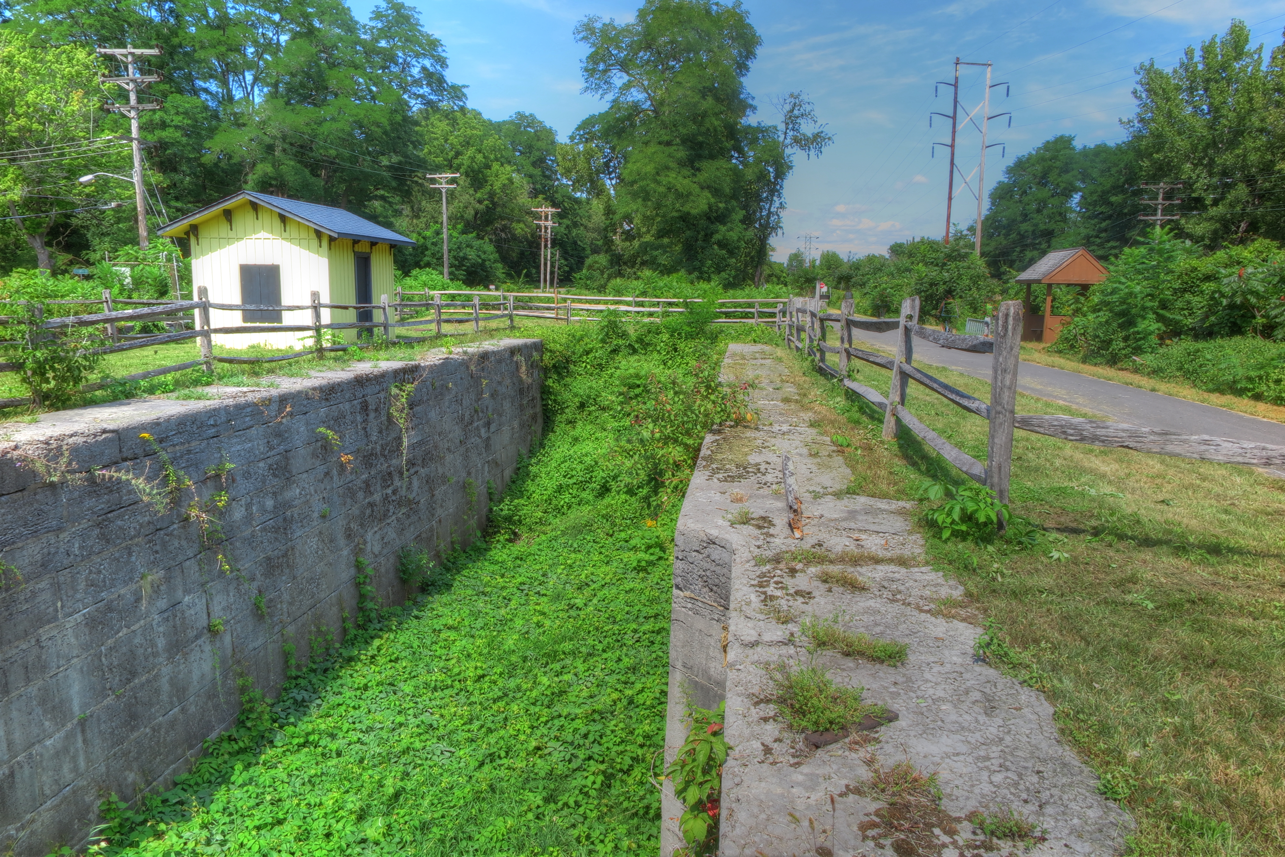
 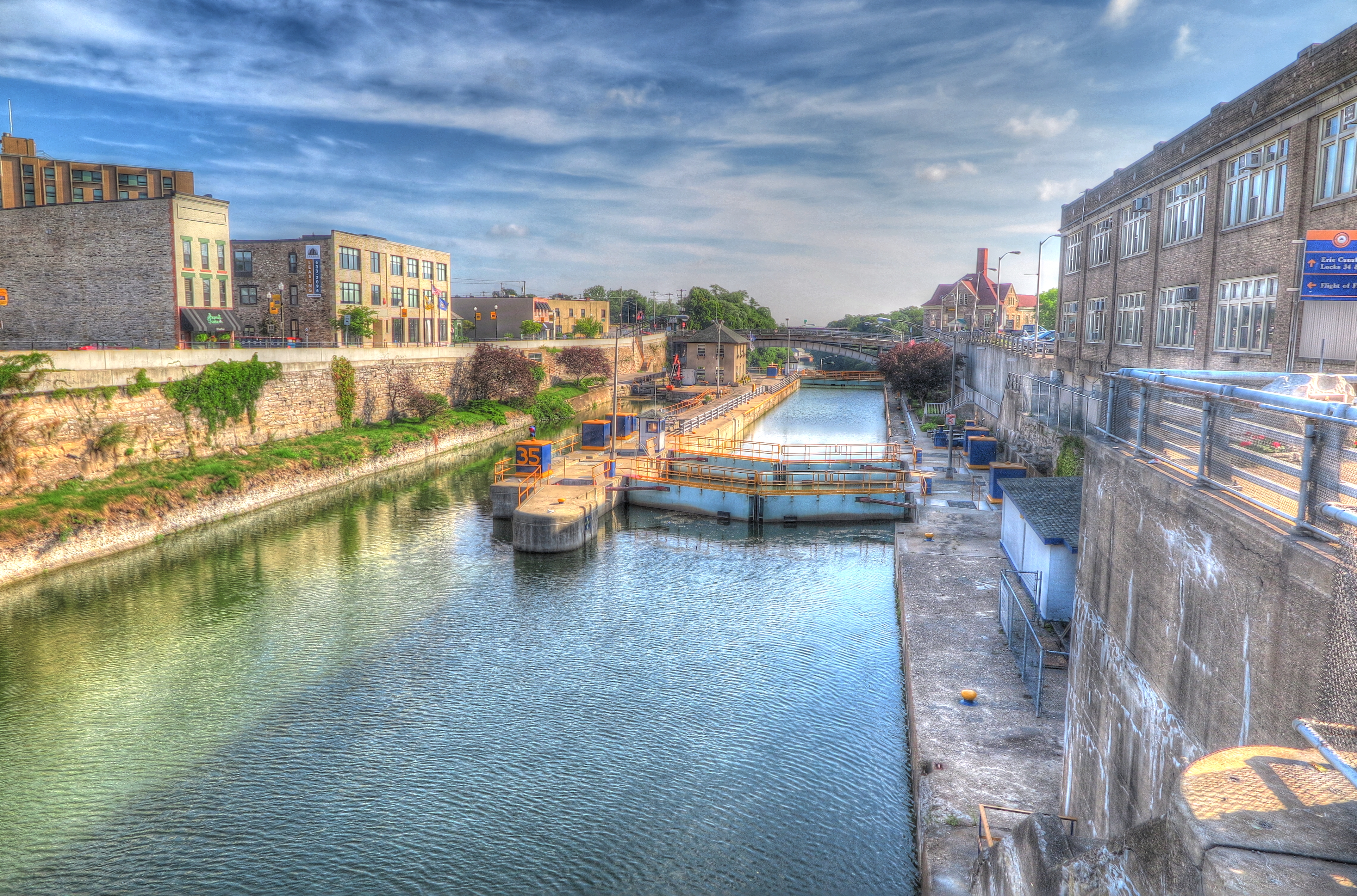 Lockport NY, the last place for the Erie canal construction. A series of five locks in row carried the canal boats up river forty feet higher. This is a view from the top of the locks looking down.
 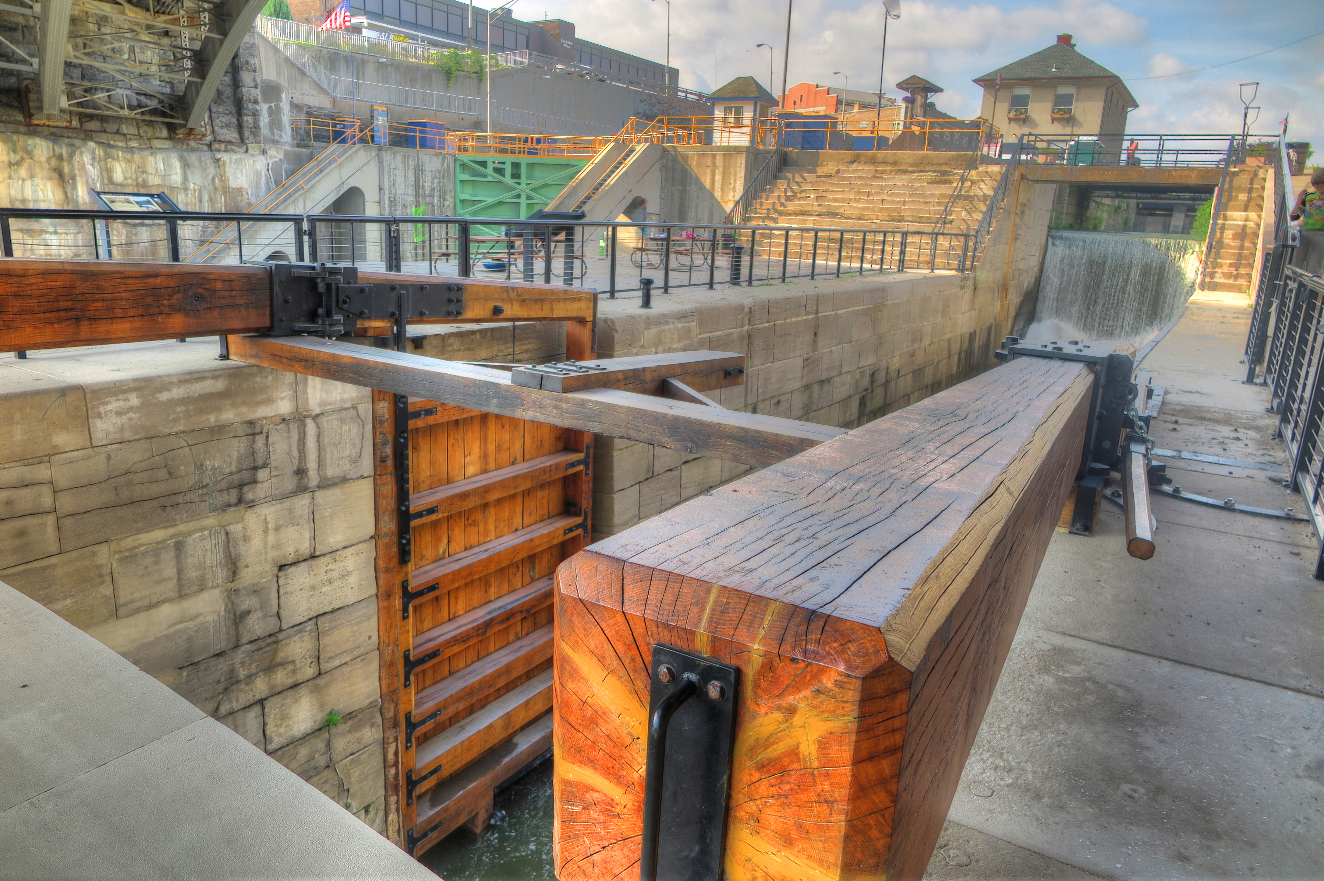 We start this day on the Erie Canal Trail in the town of Lockport where an original wooden lock is located.
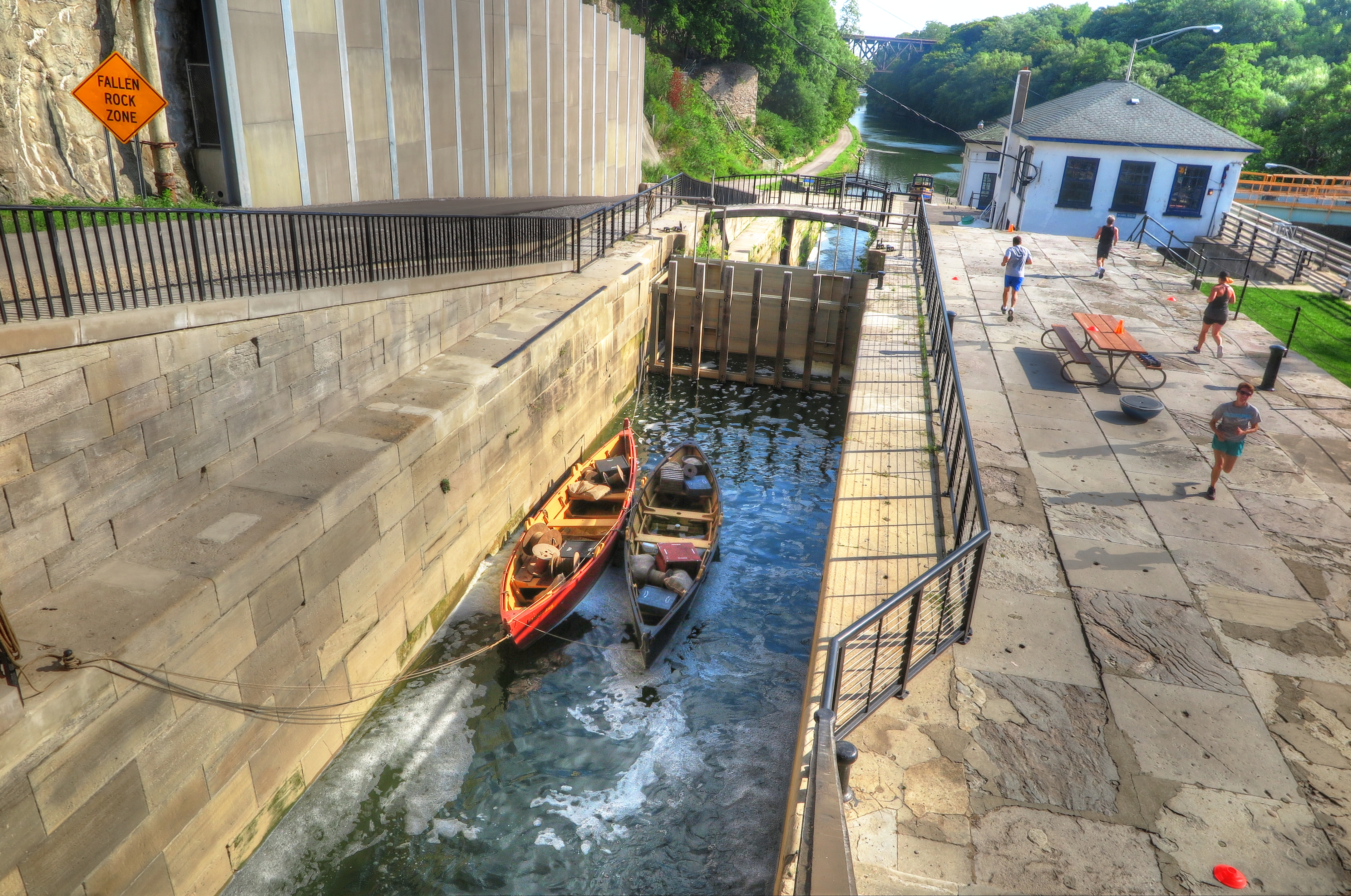


 After about 30 minutes of photographs, we are on the trail. Today is hot and humid and the trail is very open. The canal is on our right, trees on the left but they are too far off the trail to offer shade. We stopped for a quick lunch in Medina and moving on.
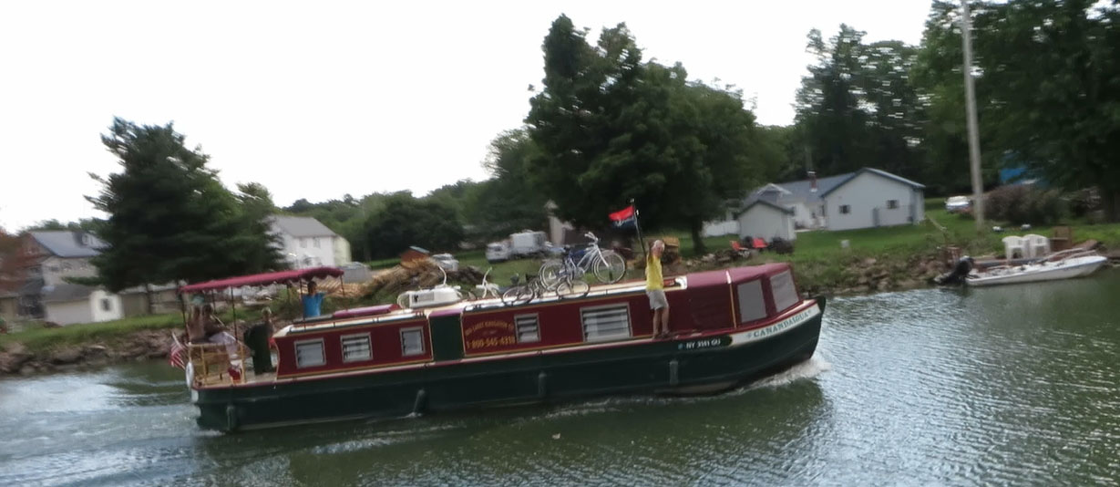
 The day was uneventful for the first 22 miles. We noticed the clouds were going darker behind us and the wind picking up (lucky a tail wind) so we picked up the pace hoping to stay ahead of the storm. Moving about 18-20mph, BAM!!! we hit a rock that not only punctured the tube, it completely cut through our brand new Armidillo tire!
 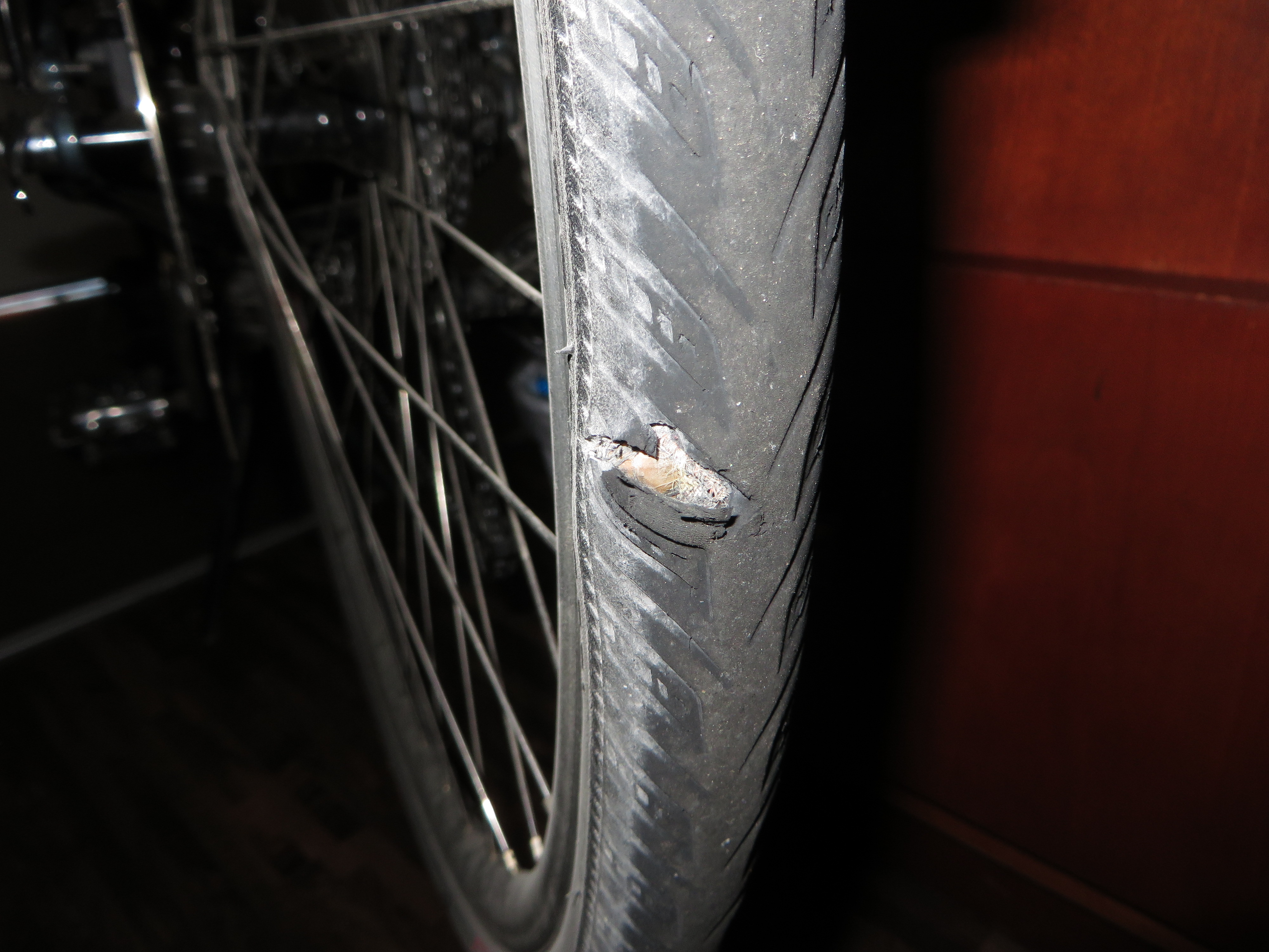 We definitely carry spare tubes but not a spare tire. Patch kits are normally used for tubes, not tires. We were exactly half way to our next destination, the point of no return. Ken put a patch on the tire, glued two layers of old rubber tubing over the hole, and a new tire tube on top of that, and we set off on a wing and a prayer. We kept our speed around 12mph. The clouds continued to threaten us but gave us relief from the sun and a few welcomed raindrops. We arrived in Brockport around 5pm dry, tired and with a tire still in tack. Luckily, there is a bike store in Brockport, unfortunately, it doesn’t open until 11am. Guess we get to sleep in again!
 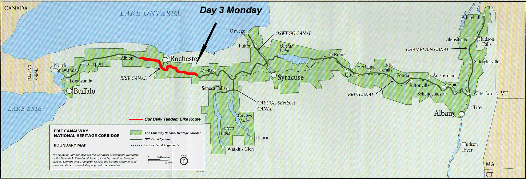 Day 3 Trapped in Rochester! We left the motel this morning around 10:30pm to run a couple errands before the bike shop opened at 11:00pm. While the bike was being repaired, we ate breakfast at “Coleen’s Kitchen”. I’m pretty sure Coleen was the hostess, waitress, and cook. The food was very good and fast. While eating we met a young couple, Nikki and Craig. They were on their bikes heading to Brooklyn, using the trail part- time, side roads part- time and camping. They were going a bit farther this evening then we were, we parted ways but were happy to see them again down the trail.
 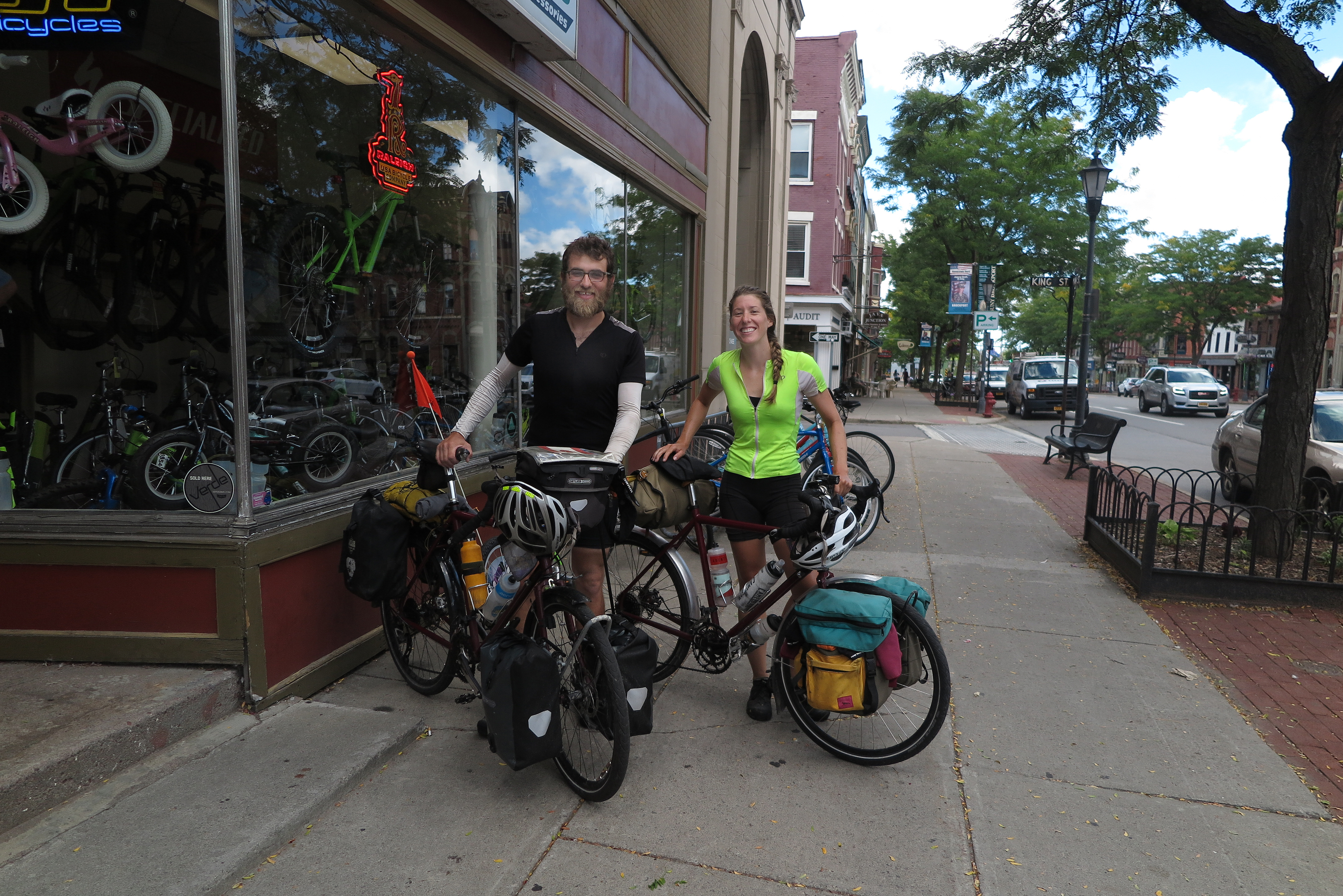 Nikki and Craig
  Historic town of Brockport New York We learned that we would have a detour when we got to Rochester. At first, the detour was well marked and was easy to follow. But then things got more confusing.
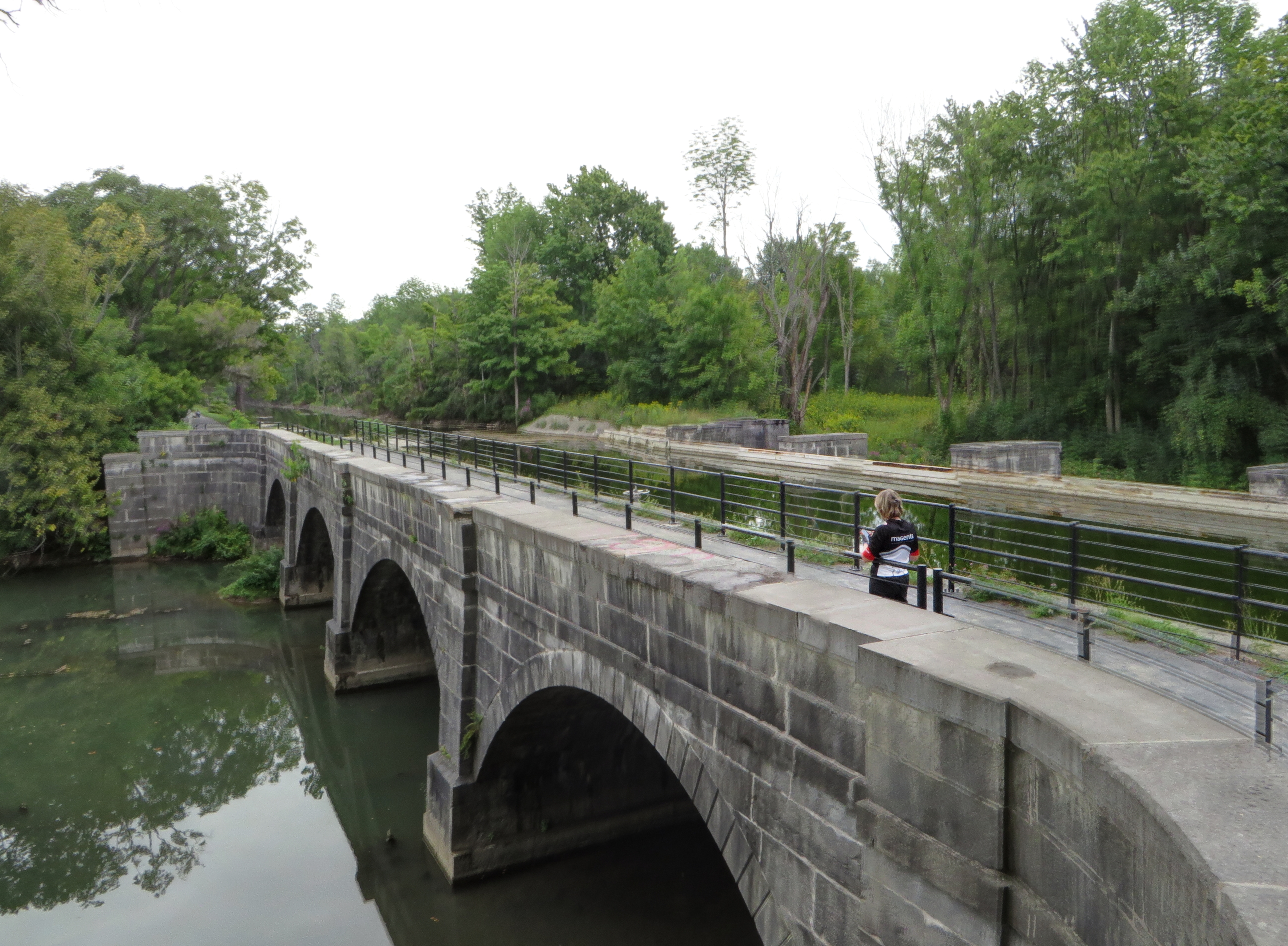
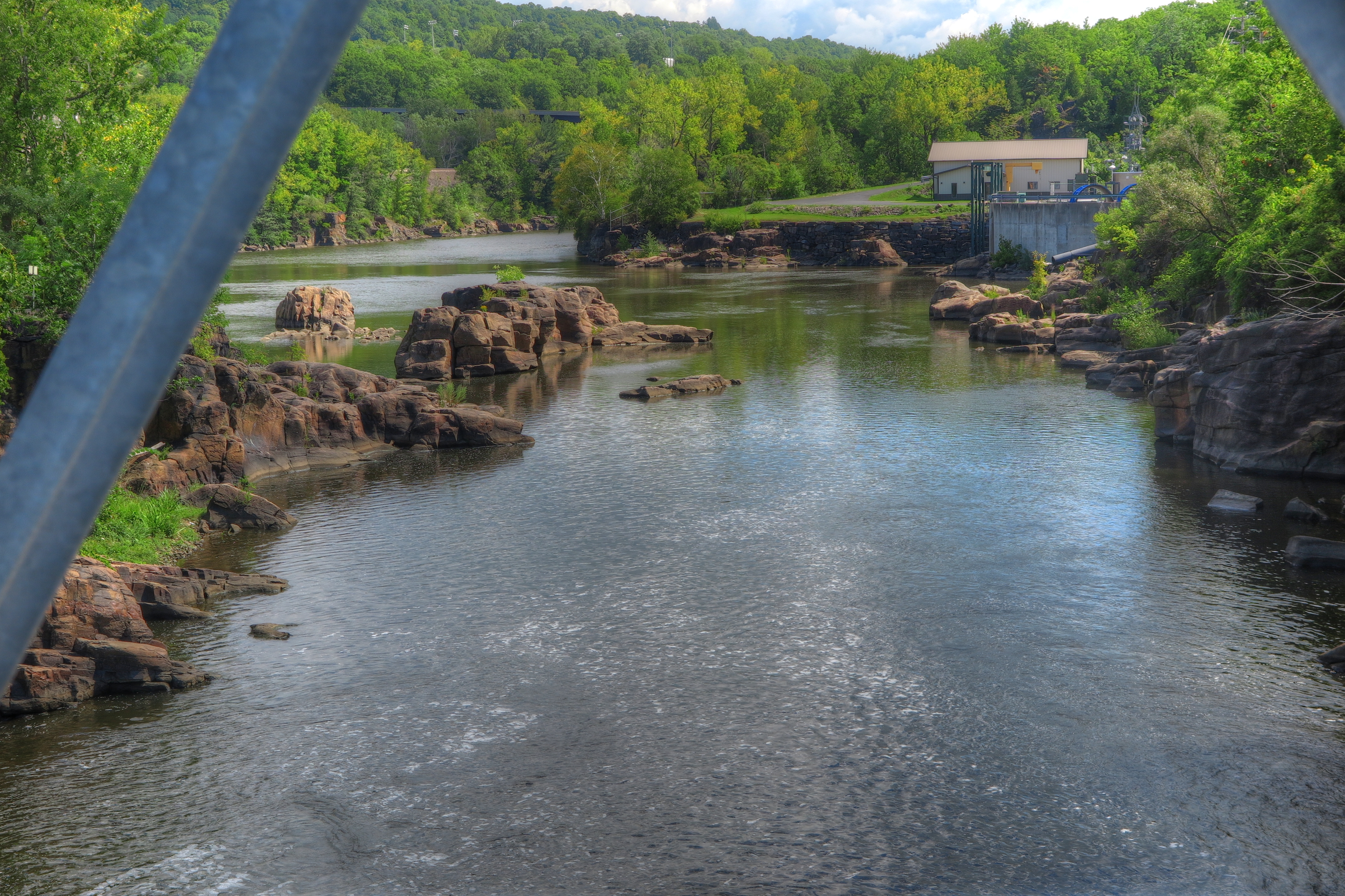
 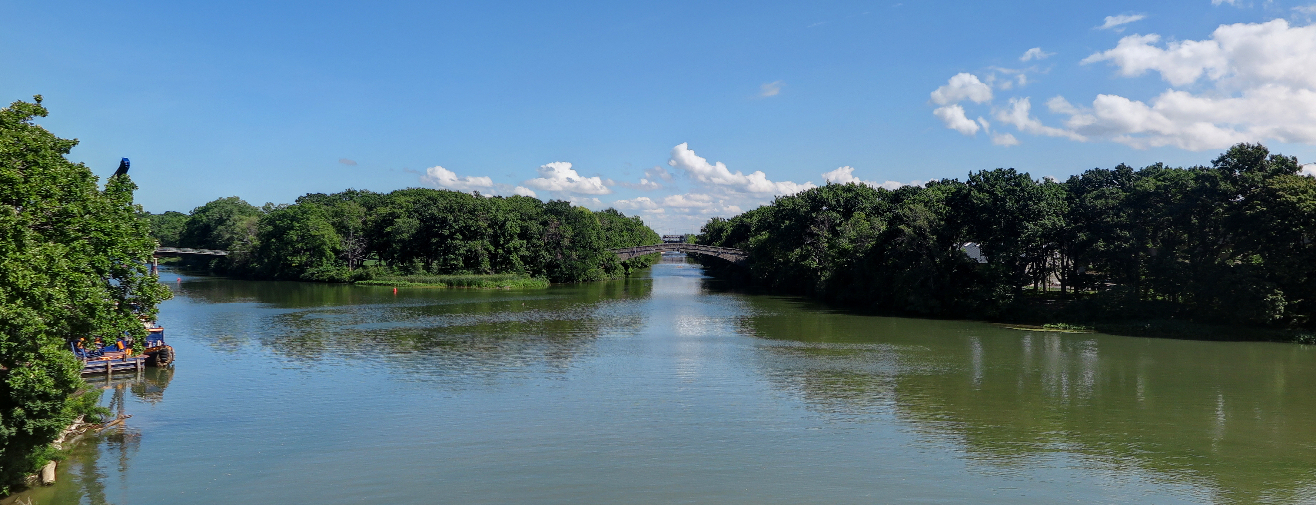 Ken took this picture of the bridges in Rochester where the Genesee River crosses the canal. At one time this river traveled under the canal, since the canal was at a higher altitude. In the picture, there are four bridges that cross the canal. We didn’t know at the time we took this picture, but we ended up crossing all four bridges on a detour through South side of the city.
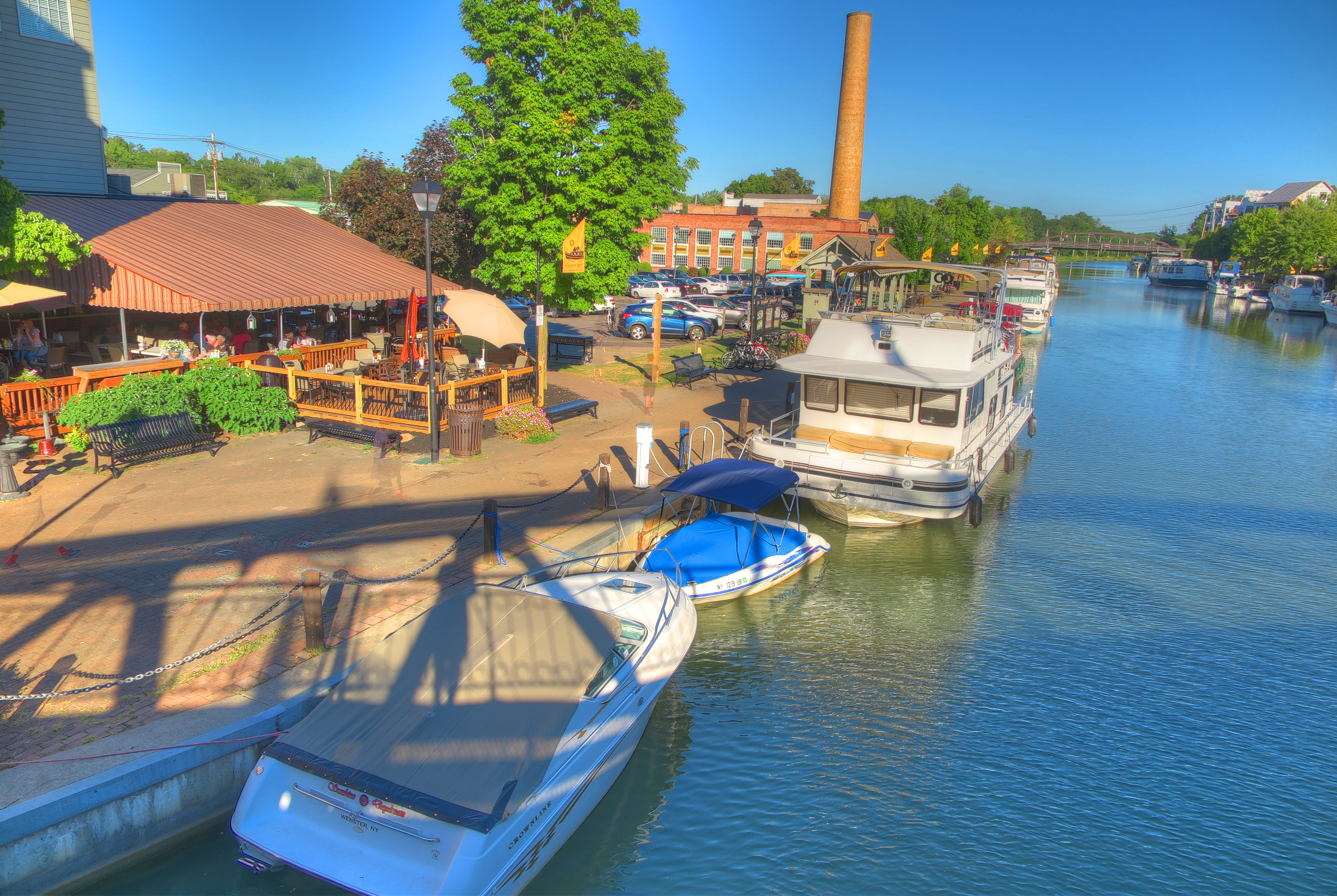

A restored Erie Canal boat.
We finally got past the detour around 4:30pm and still had about 25 miles to go (about 2+ hours) and we haven’t had dinner. We stopped at the beautiful canal town of Fairport and had dinner at The Tow Path Cafe. The patrons arrived by car, boat and bike. Refueled, we hit the trail again with about 15 miles to go…. and at 7:41pm, we pulled into the Palmyra Inn, in the small town of Palmyra NY. As it turns out, this has been the nicest hotel we’ve stayed at! ….so far.  Day 4 On-Off-On-Off Overall the day was uneventful, which is a good thing! This section of the trail was tree lined and shaded. But that didn’t last long either. Before I was ready, we left the trail and was on the road; State Rd 31 to be exact….Bike Route 5 to be more exact. State Rd 31 is considered part of the Erie Canal Trail and offers a wide berm for bikers. This happened a couple times.
  https://youtu.be/jIlC0JxIpe4 Before we left the trail for the day, we met up with Andre.
 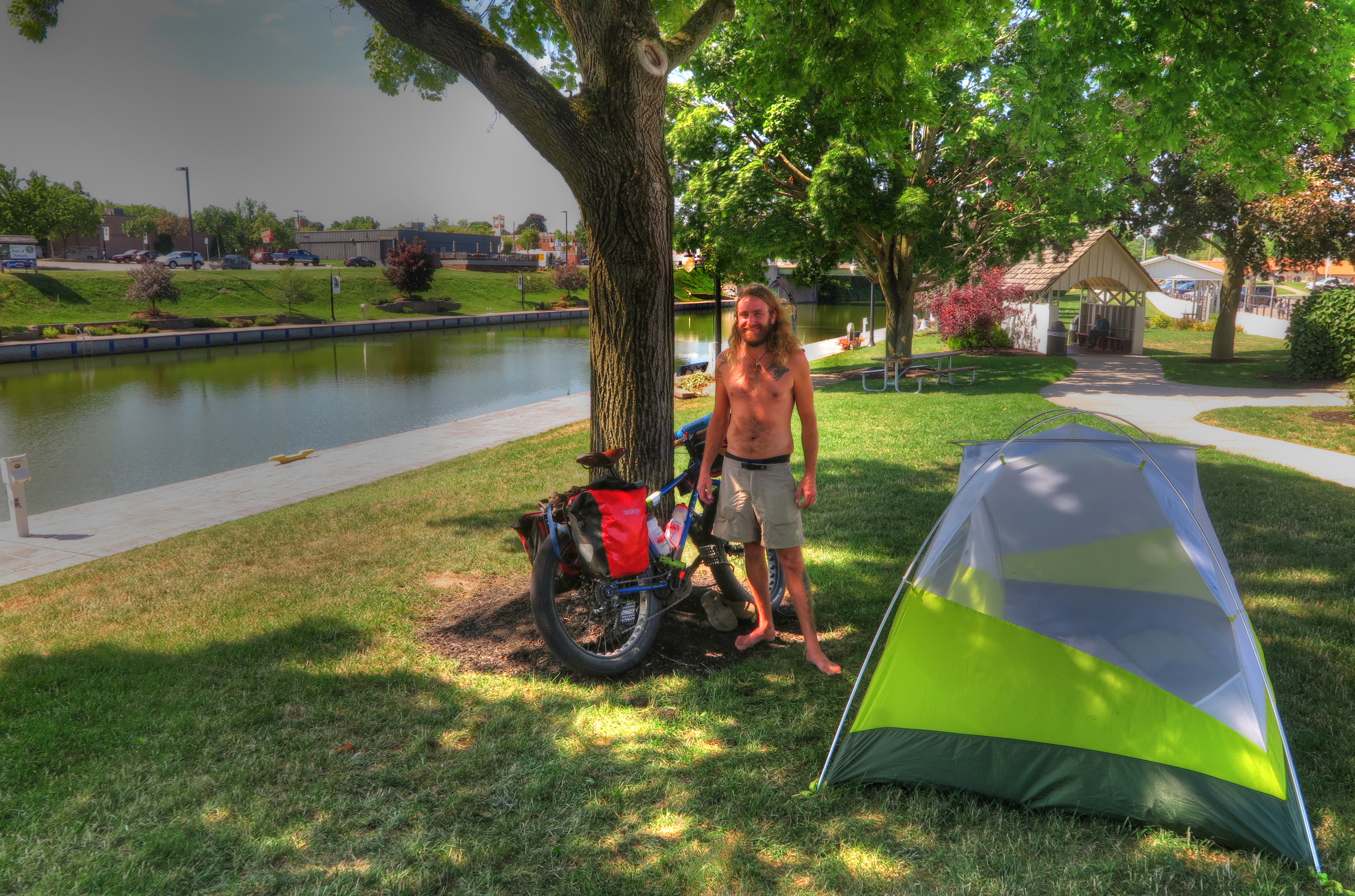 Andre has biked from Idaho and was headed to Bar Harbor Maine, then he was headed south. He said he decided he wanted to see the country…@ 10mph! We traded stories and were on our way.
 We passed a couple bikers headed in the opposite direction, but didn’t pass or get passed by any bikers going our way. We arrived in Weedsport NY around 5:45 with another day behind us. Sometimes, uneventful is good!
 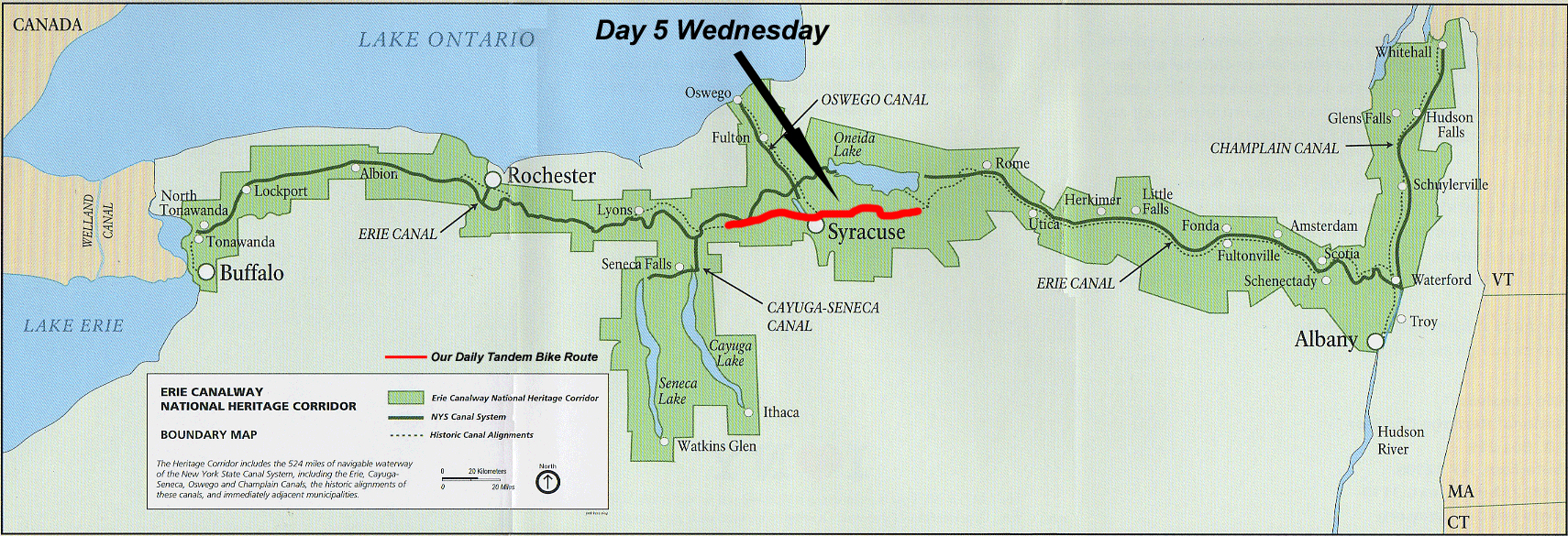 Day 5 Rain, Rain…. We continue to start a little on the late side, but we have not been setting an alarm and waking when we wake. We did start in the rain today, but we didn’t let that stop us (Ken) from taking a long photography break. We had to stop to take as closer look at this original lock.
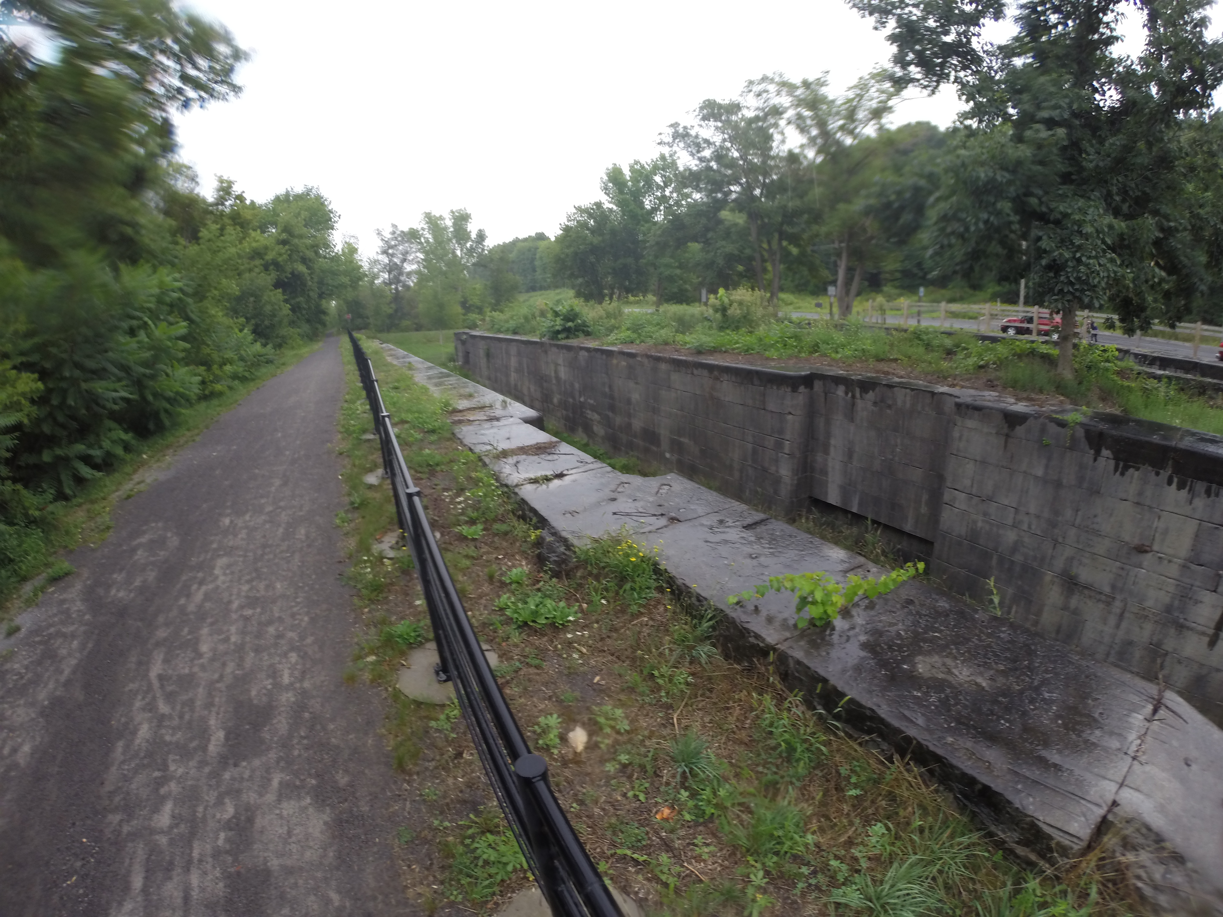
 Today, the trail is very narrow, 18″ wide at most. We love our tandem but are especially happy to have it because if we were on separate bikes, it would be very hard to converse.
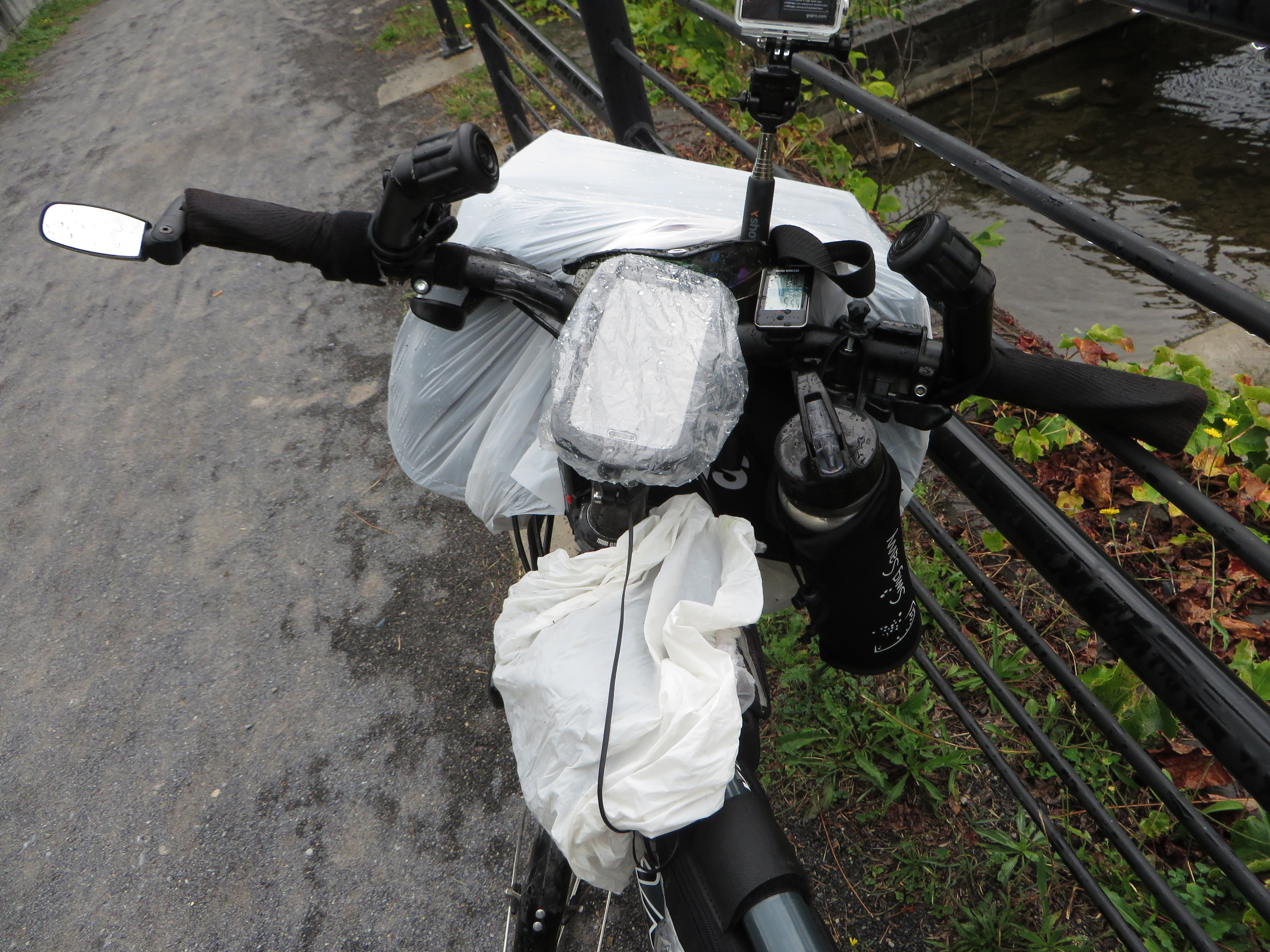
It did rain all morning long.
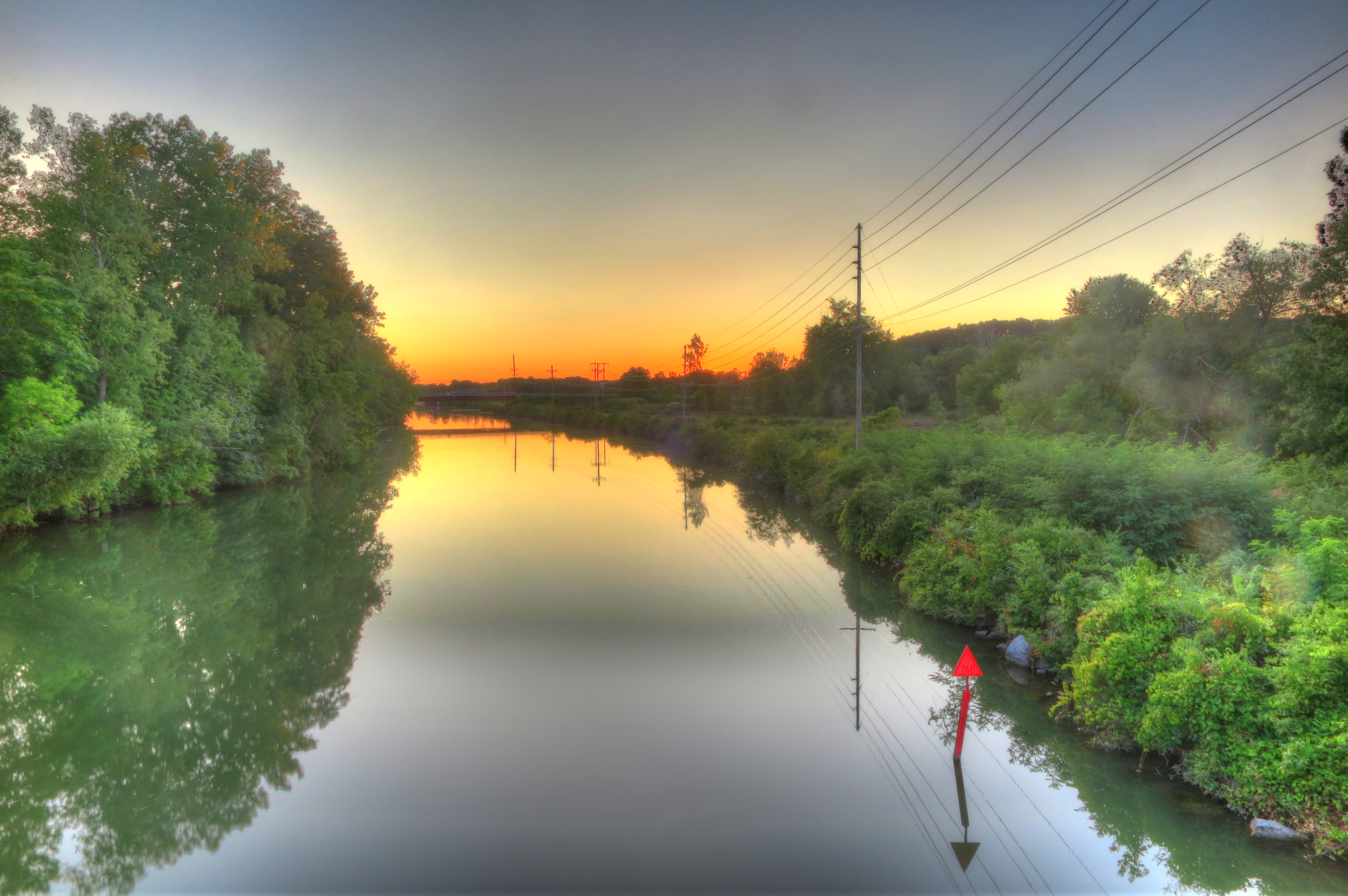
 The canal reflects a similar state. There are so many places where nature has reduced the canal to little more than a big mud puddle.
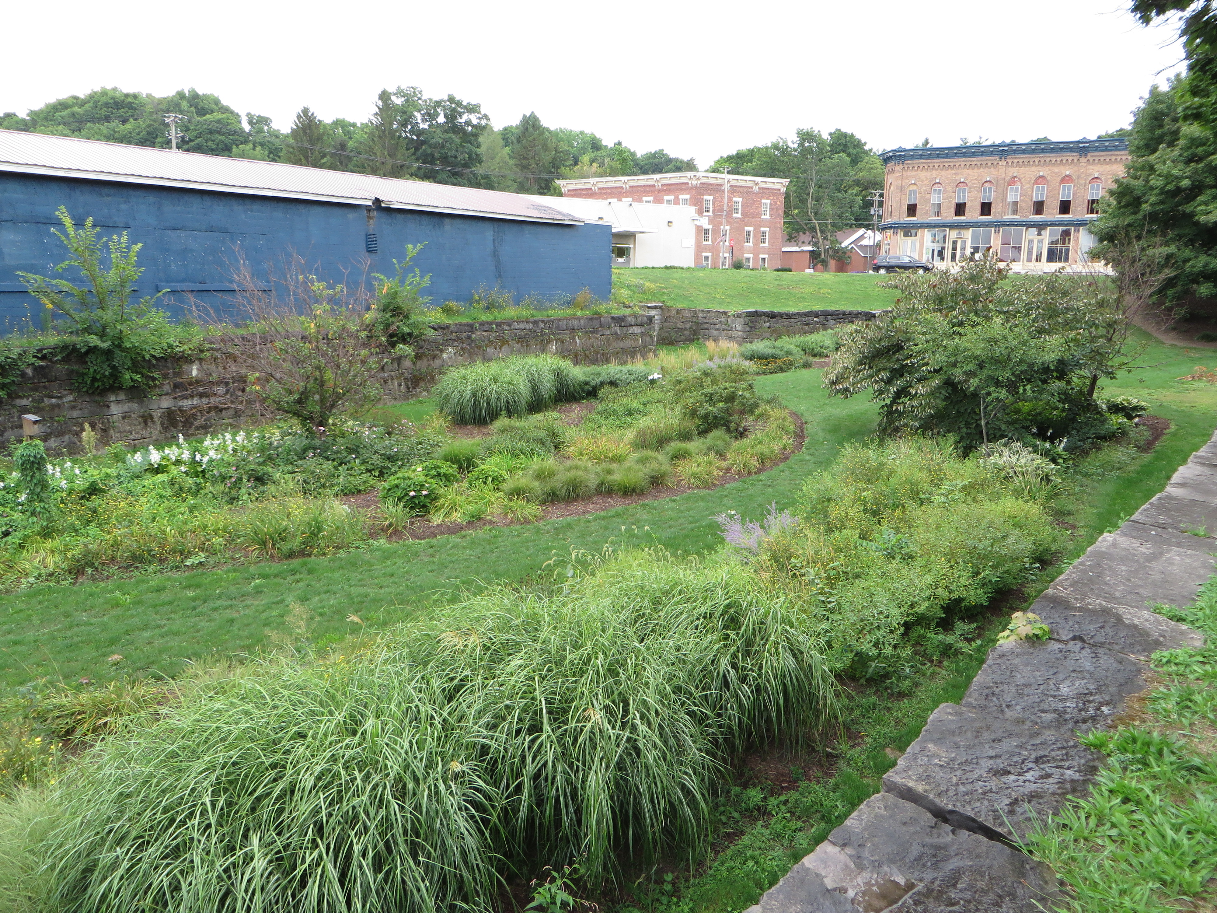

 There are also places where man continues to intervene, filed in the canal completely and created parks and gardens. After 17 miles, we leave the canal and hit the road again…. It’s till called the Erie Canal Trail, we just share the road. After passing through the outskirts of several small towns we ended up going right though downtown Syracuse. Time to stop for lunch at a place that happened to just open up the day before. The we move on, still dealing with traffic and hills but still on “the trail”. At around 30 miles we came upon the canal again, picking it up at “The Historical Erie Canal State Park”. Parts of this State Park still had the canal preserved in is original state. The park was beautiful! The trail was paved…..life is good…. for about 7 miles. Well, at least the trail was a little wider again. Still, this part of the trail is part of the park system and was lined with historical markers and points of interest. We headed on down the trail. Next stopping place, our hotel for the night. We ended up in a the town of Canastota NY. The host of the International Boxing Hall of Fame.
 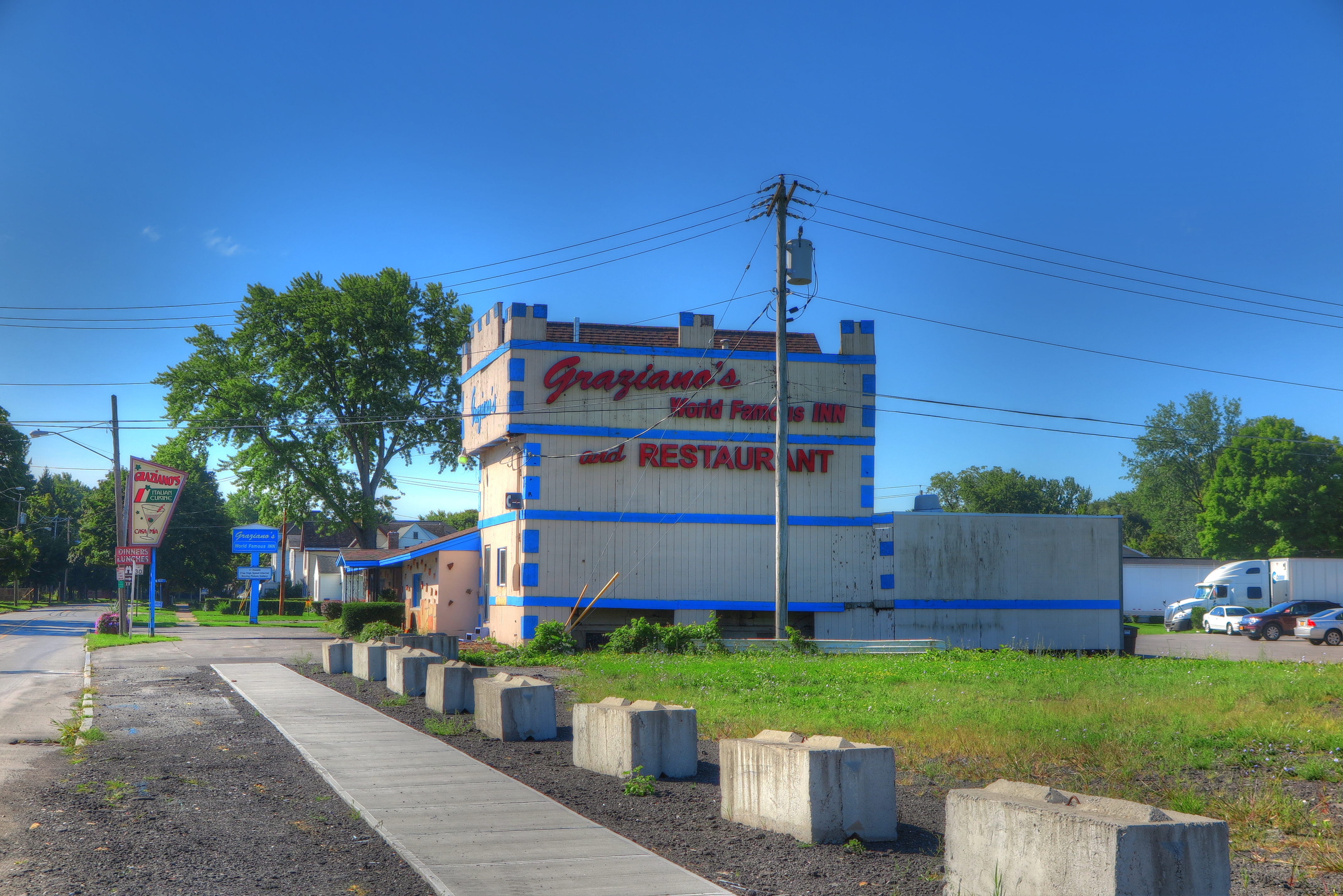 Then we wound up having dinner at World Famous Graziano’s Italian restaurant. Apparently a boxing mecca of sorts. By the looks of the pictures on the wall, it looks like every top boxer in the world has been to this place.
  Day 6. Looks like it’s going to be a beautiful day! The sun is shining and a light breeze is blowing, which is good, we have our longest day so far ahead of us…54 miles. As usual, we don’t get quite 5 miles before Ken wants to stop for pictures.
 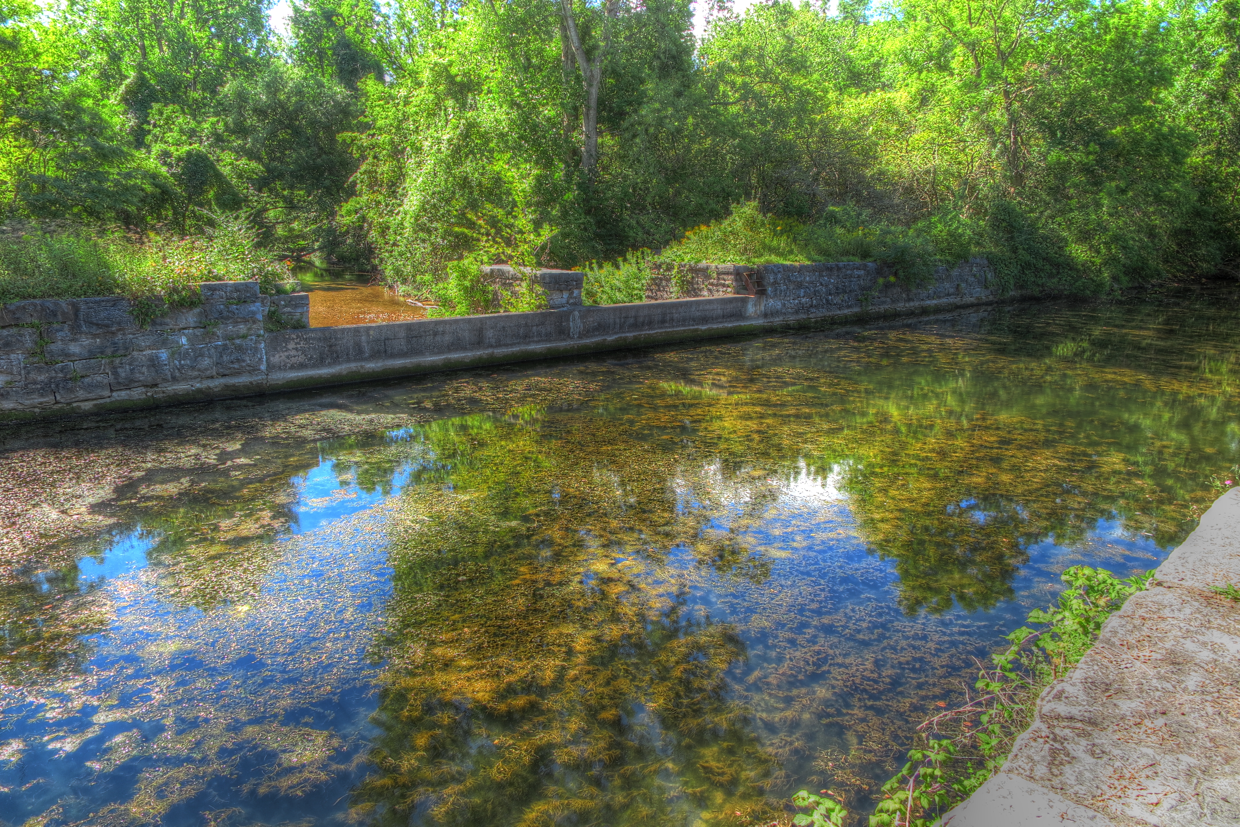 Another aqueduct
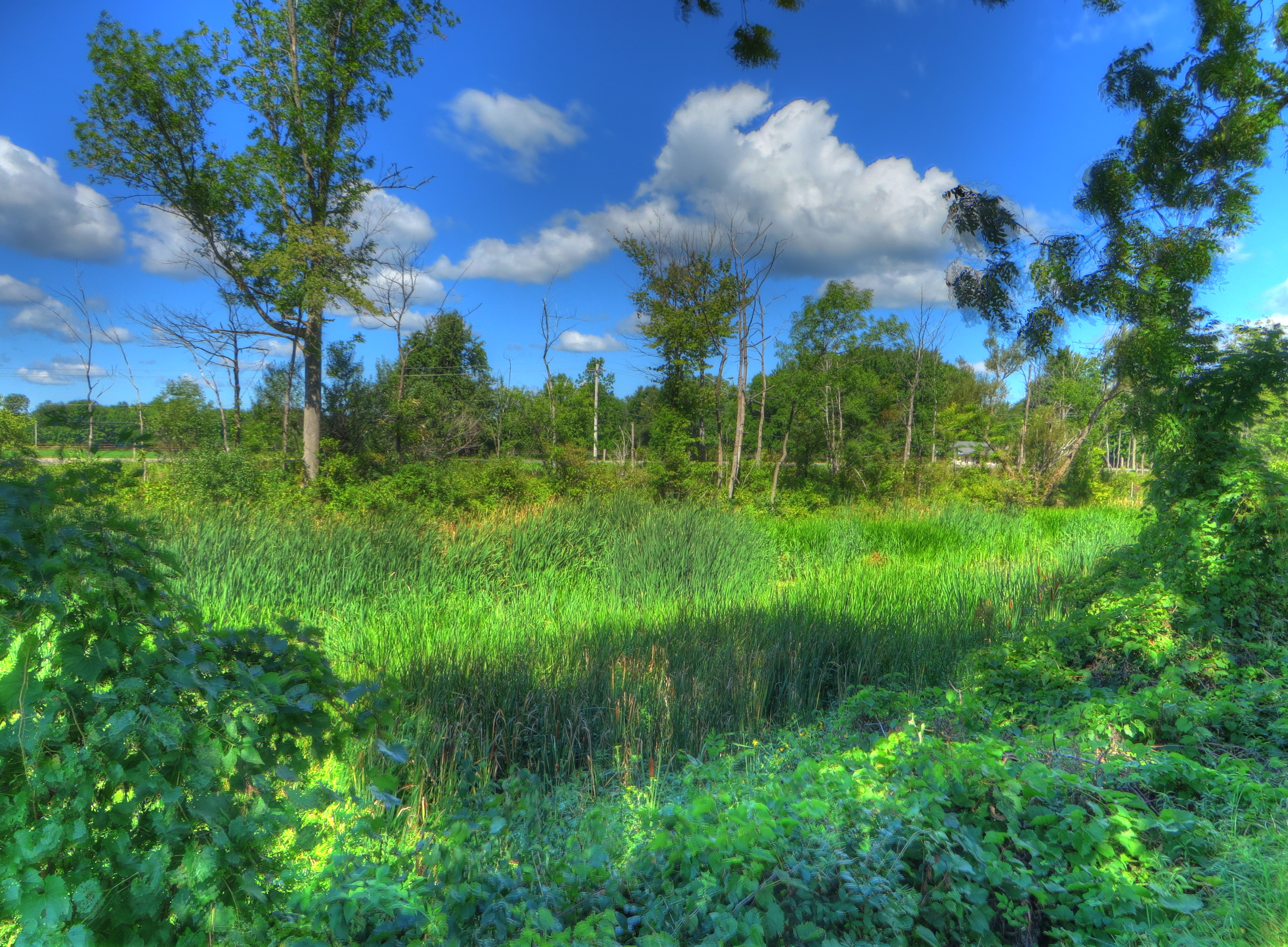 We are so intrigued with the constantly changing look of the canal. Several miles of the canal is being reclaimed by nature. Then we are off the trail for several miles and the canal is back to the way man made it. We were making some pretty good time on the trail when Ken said “awwww” and stopped the bike.
  We passed by a baby turtle.
 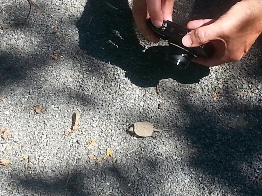 We have him/her some water and put it off to the side of the trail and he/she scurried of into the grass. We notice a sign “trail narrows” I asked if we should get off and walk the bike, Ken said he was sure he could guide us through it.
 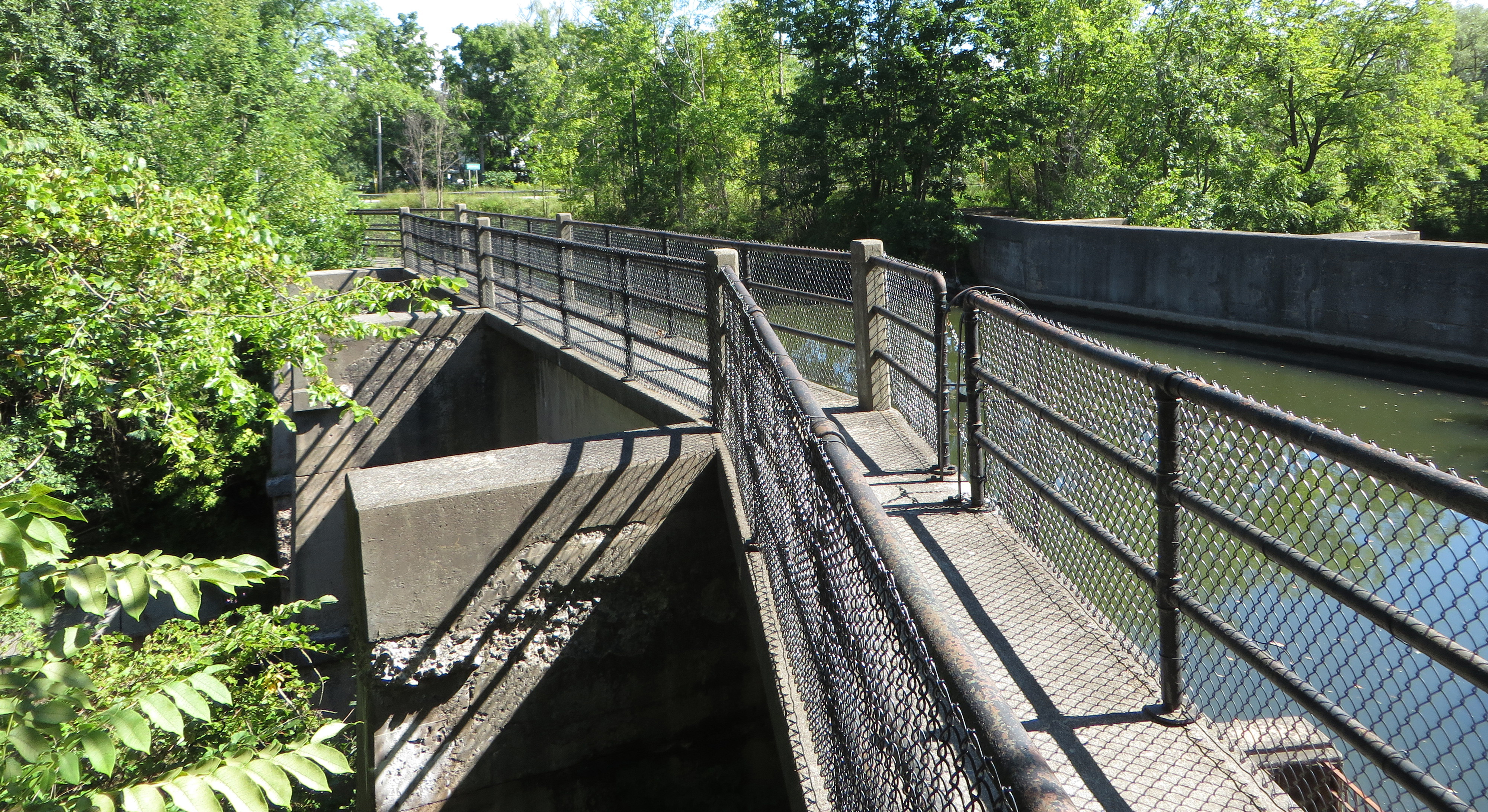 We made it in one piece! https://youtu.be/S5M93Rfx6iE The last 30 or so miles was all state road. We were eager to finish our trip for the day, so we kept moving. We pulled into our room for the night around 5:20pm in Herkermer NY.
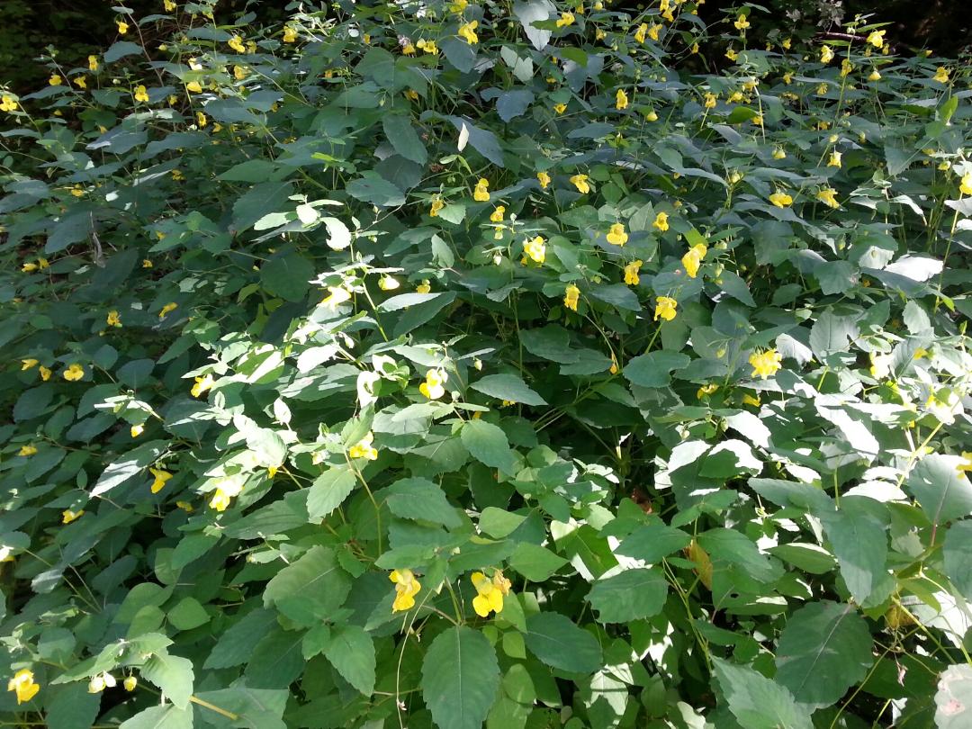
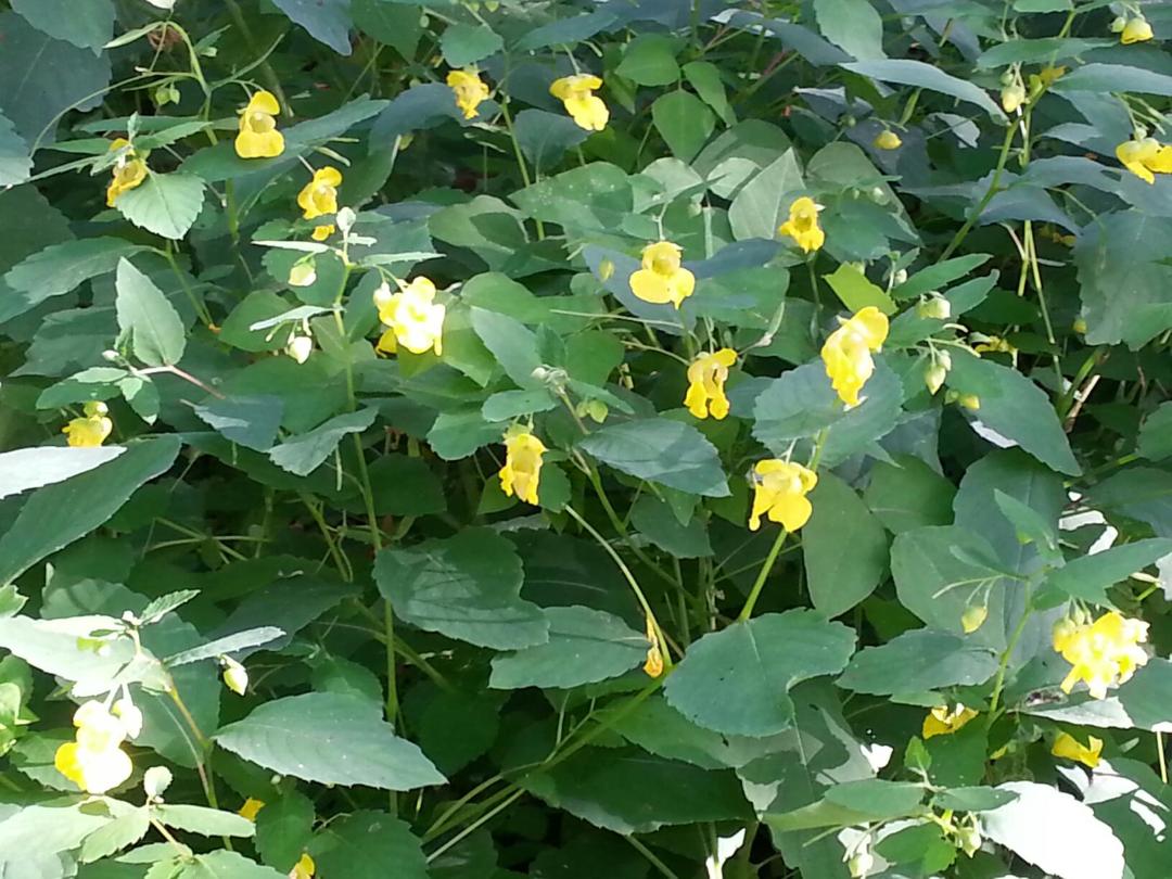
 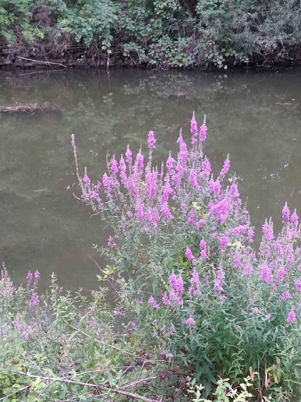 I don’t know what kind of flower (weed-?) this is, but I think they are beautiful and they line the canal.
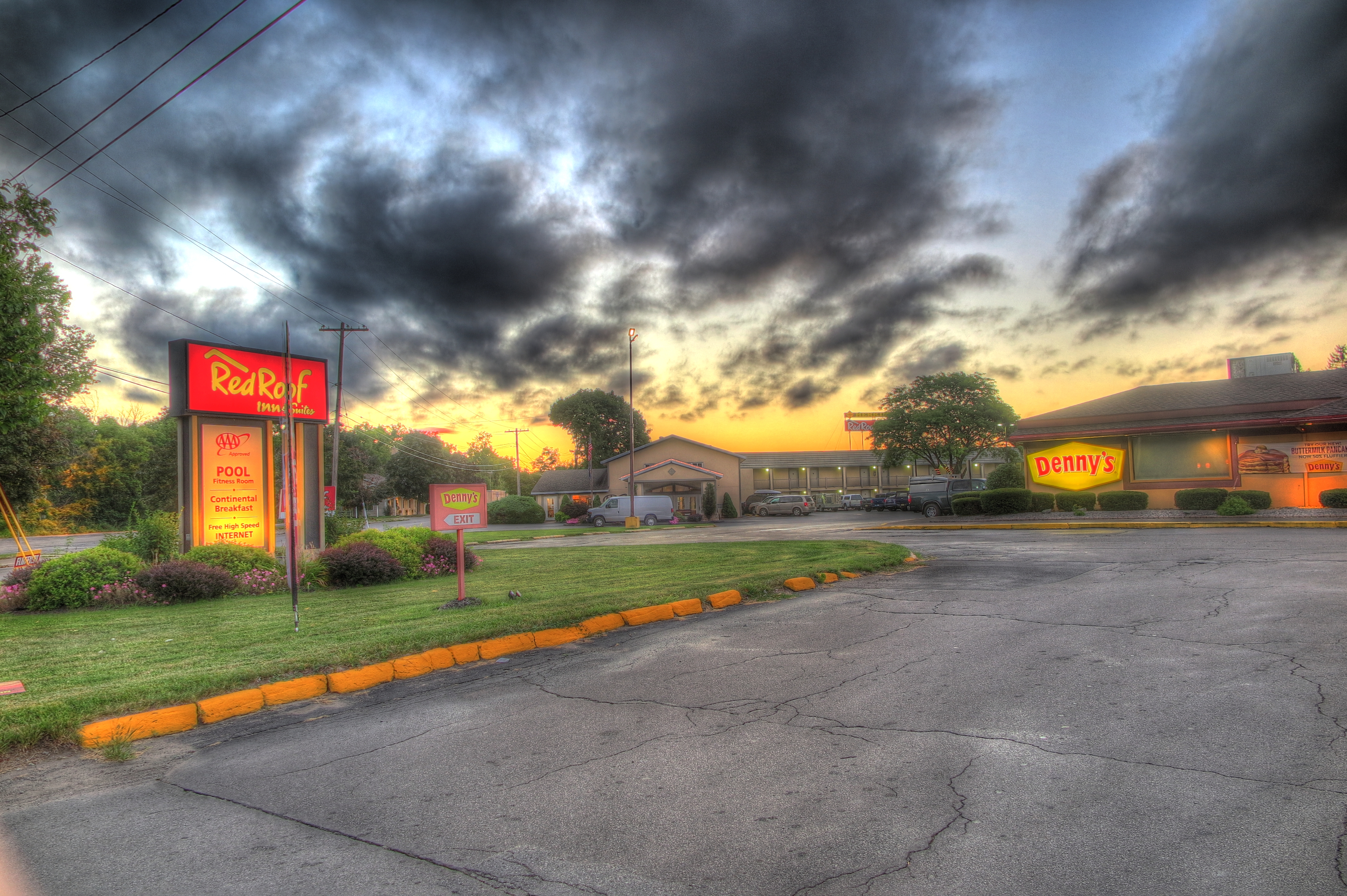
 After a few more miles we checked in at the hotel, ate at Denny’s, did laundry in our hotel room and fell asleep.
 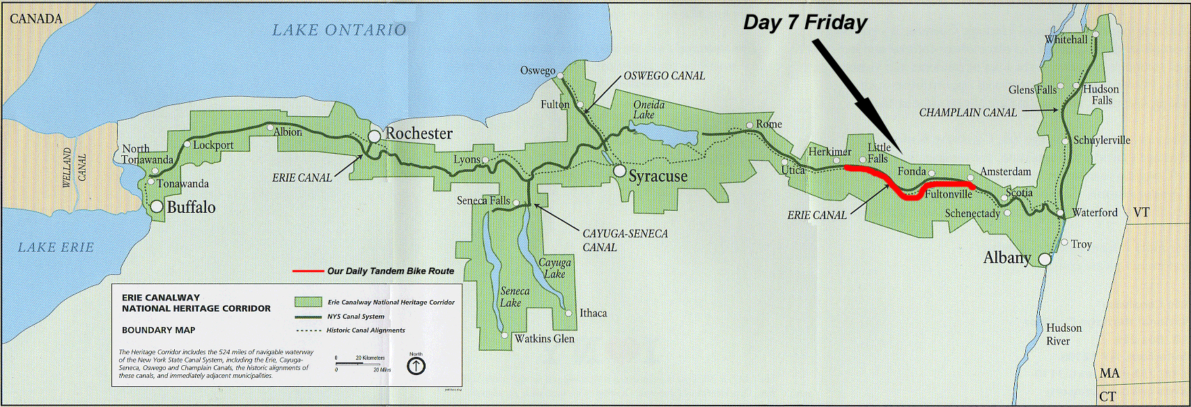 Day 7 Our last full day. We certainly can’t complain about the weather during our ride. Two to three hours of rain on one day. Today is a beautiful, early fall-like day. Warm sun, cool breeze and chill in the shade. We began our day in Herkemer. The smaller towns we have ridden through look like towns from a Norman Rockwell painting and have thriving businesses. They remind me of my own hometown of New Castle when I was growing up.
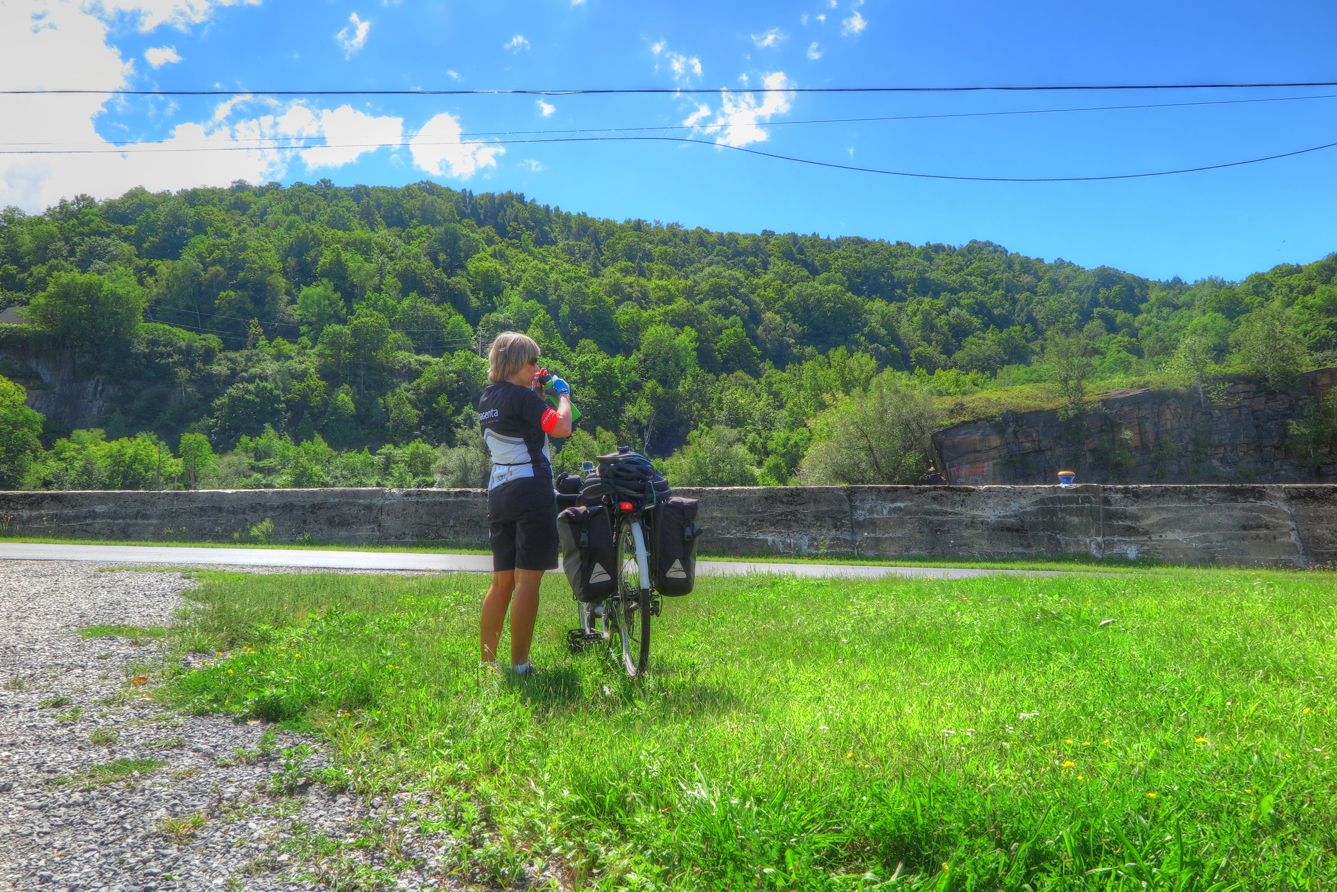
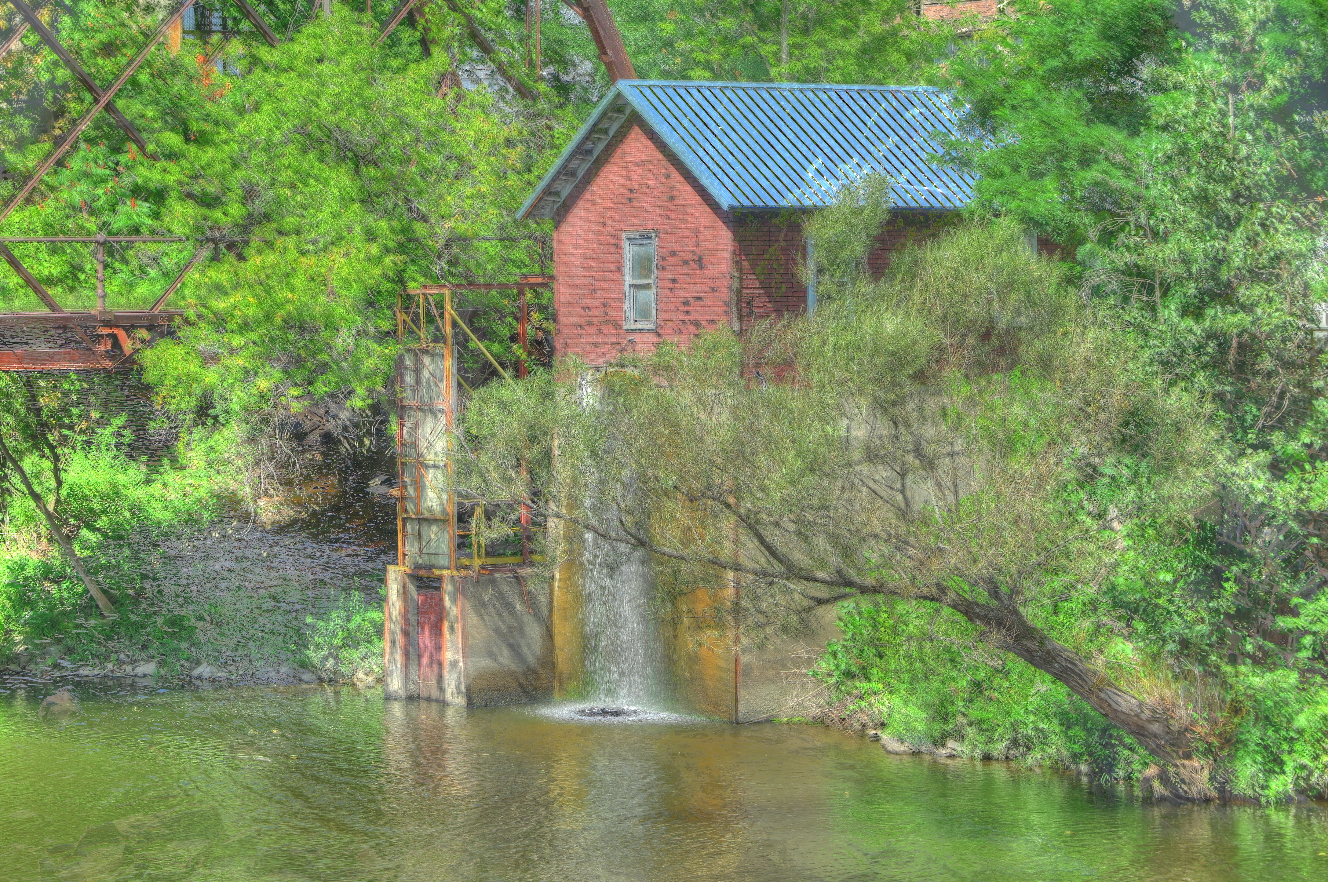
 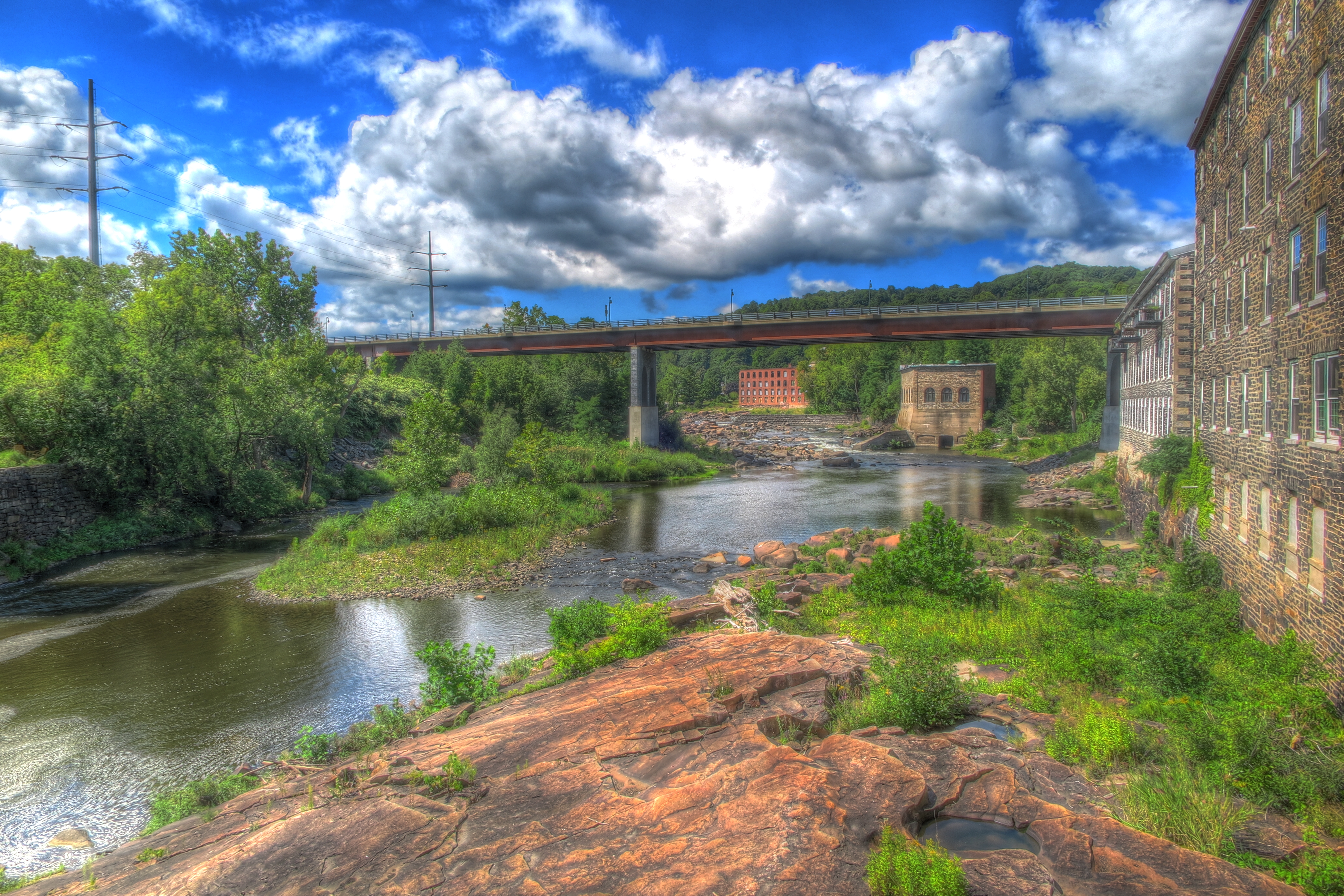 Our next stop was right off the trail, thr town of Little Falls. Looks like we made a good decision in the direction we choose because we have saved the best for last.
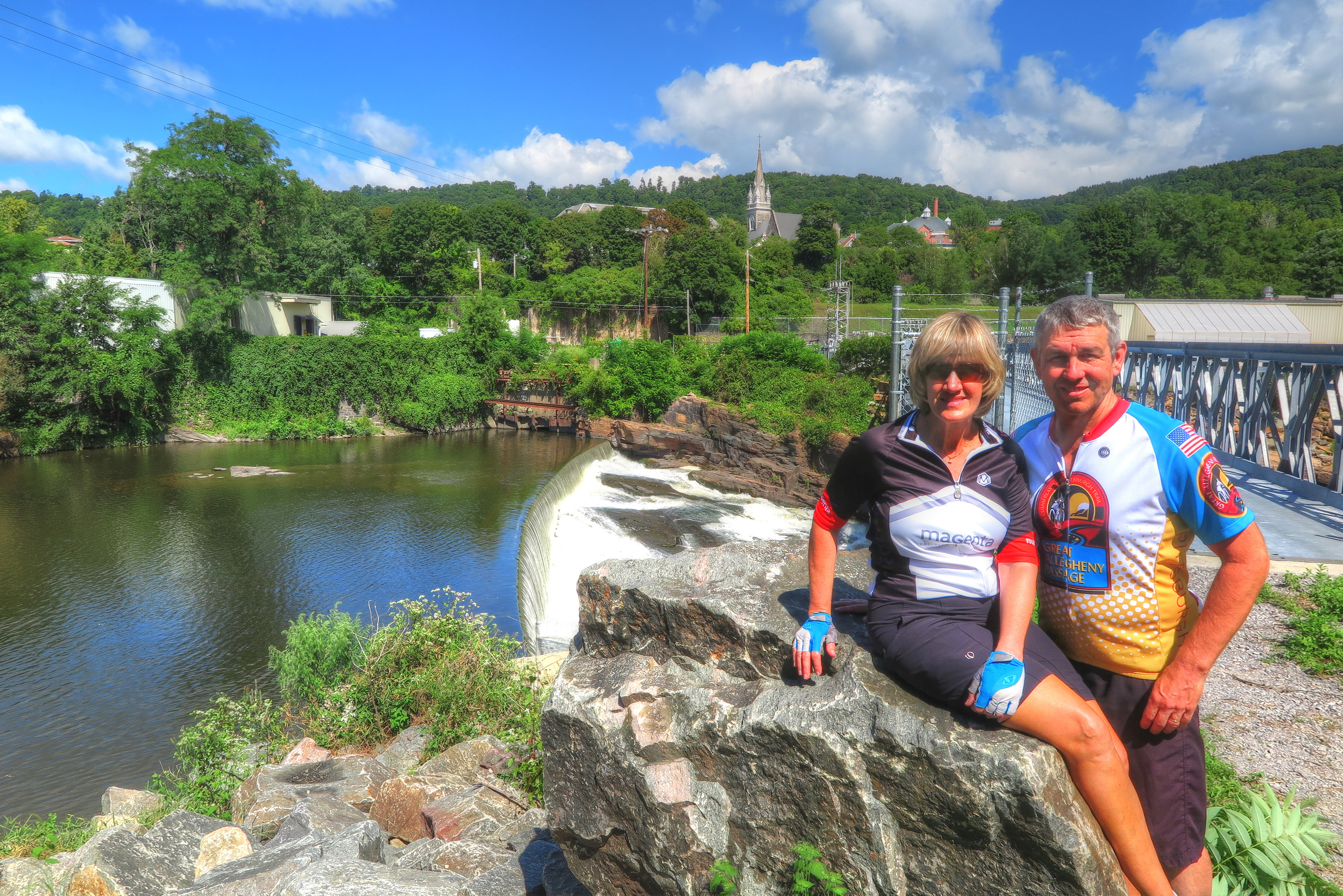

 Bumpty bump bump… the trail suddenly turns very bumpy. Ken said he feels like he’s riding a bucking bronco. This goes on for many miles and does us down quite a bit.
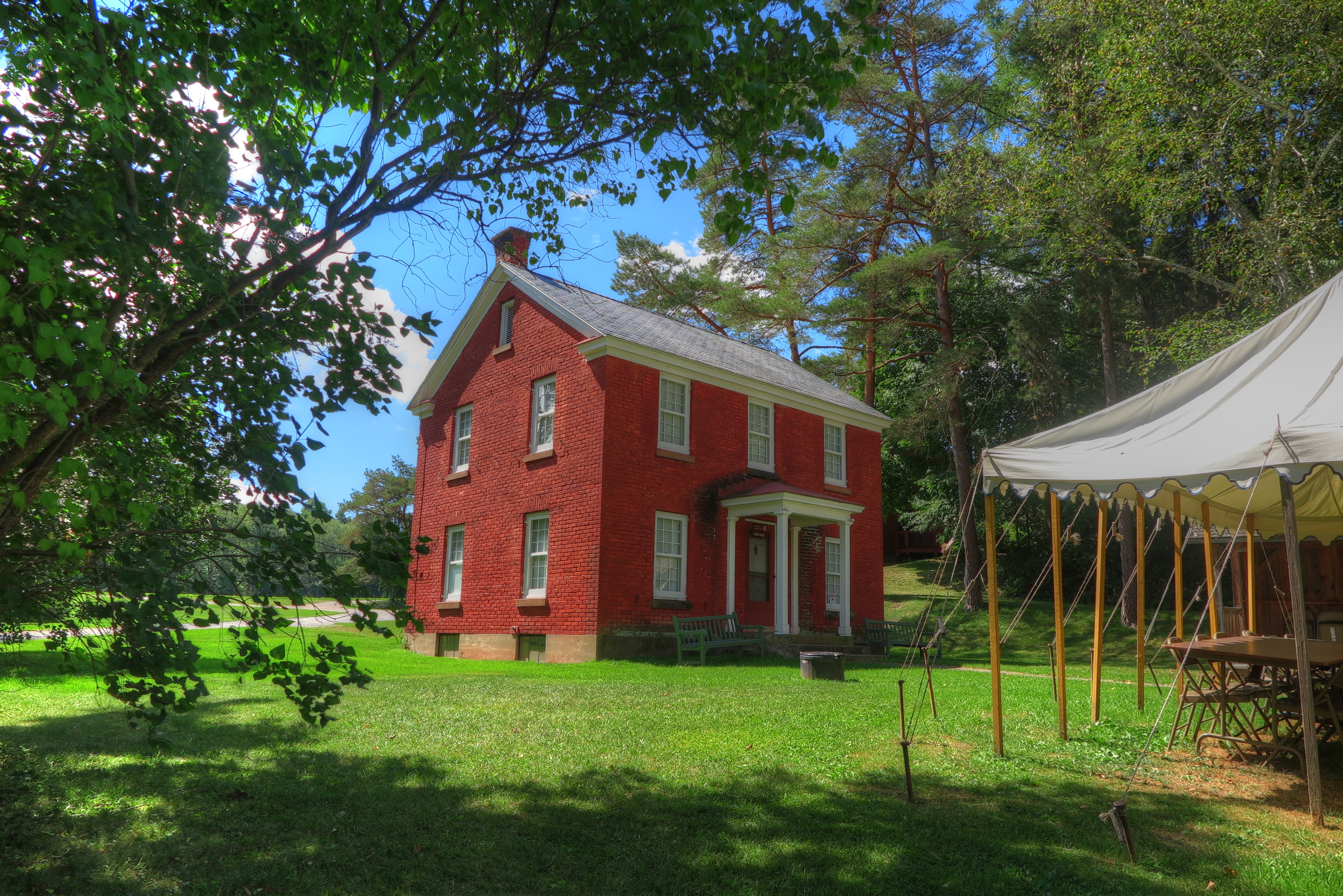


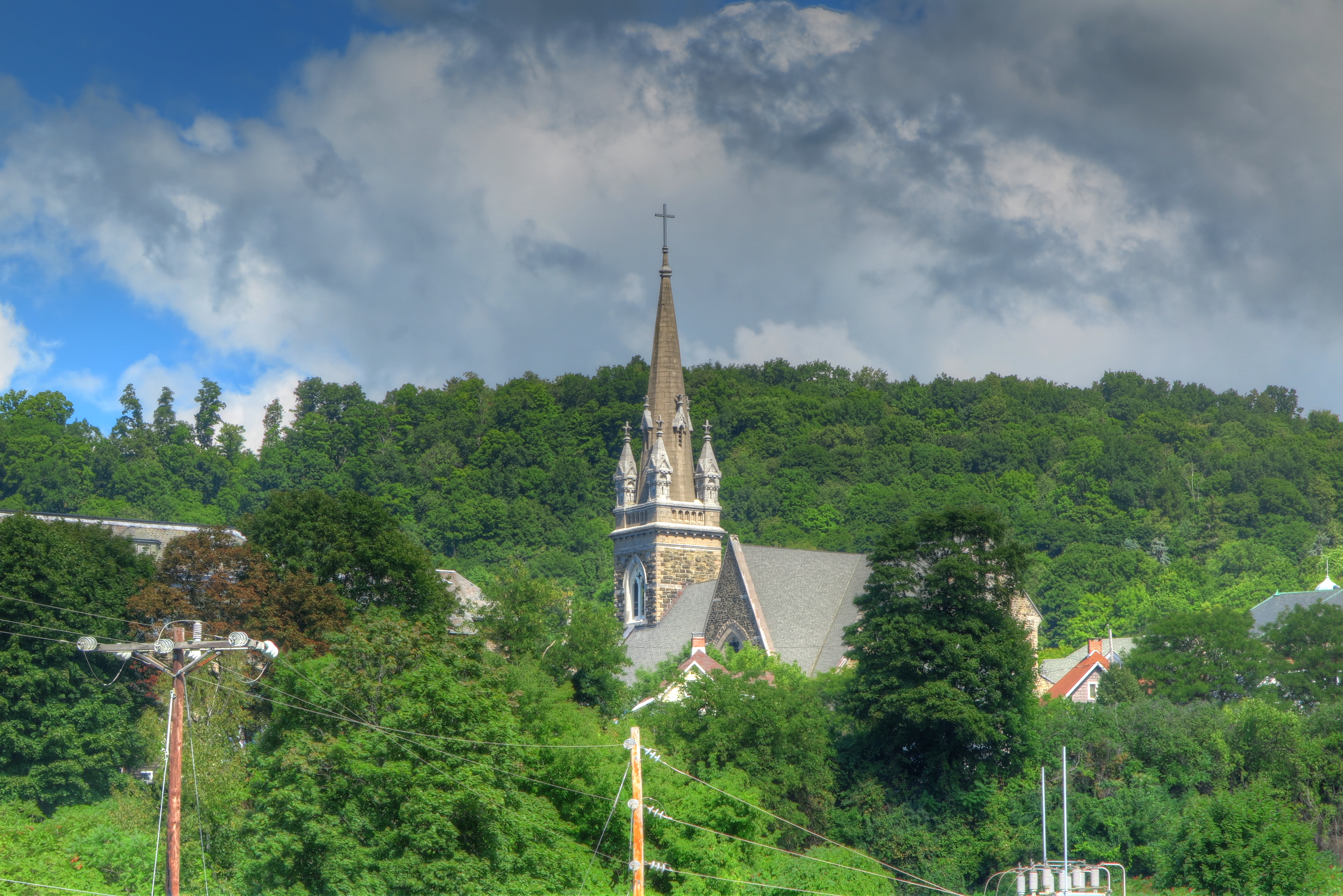
 We finally arrive in the town of Amsterdam. The first thing we notice is the castle, Amsterdam Castle.
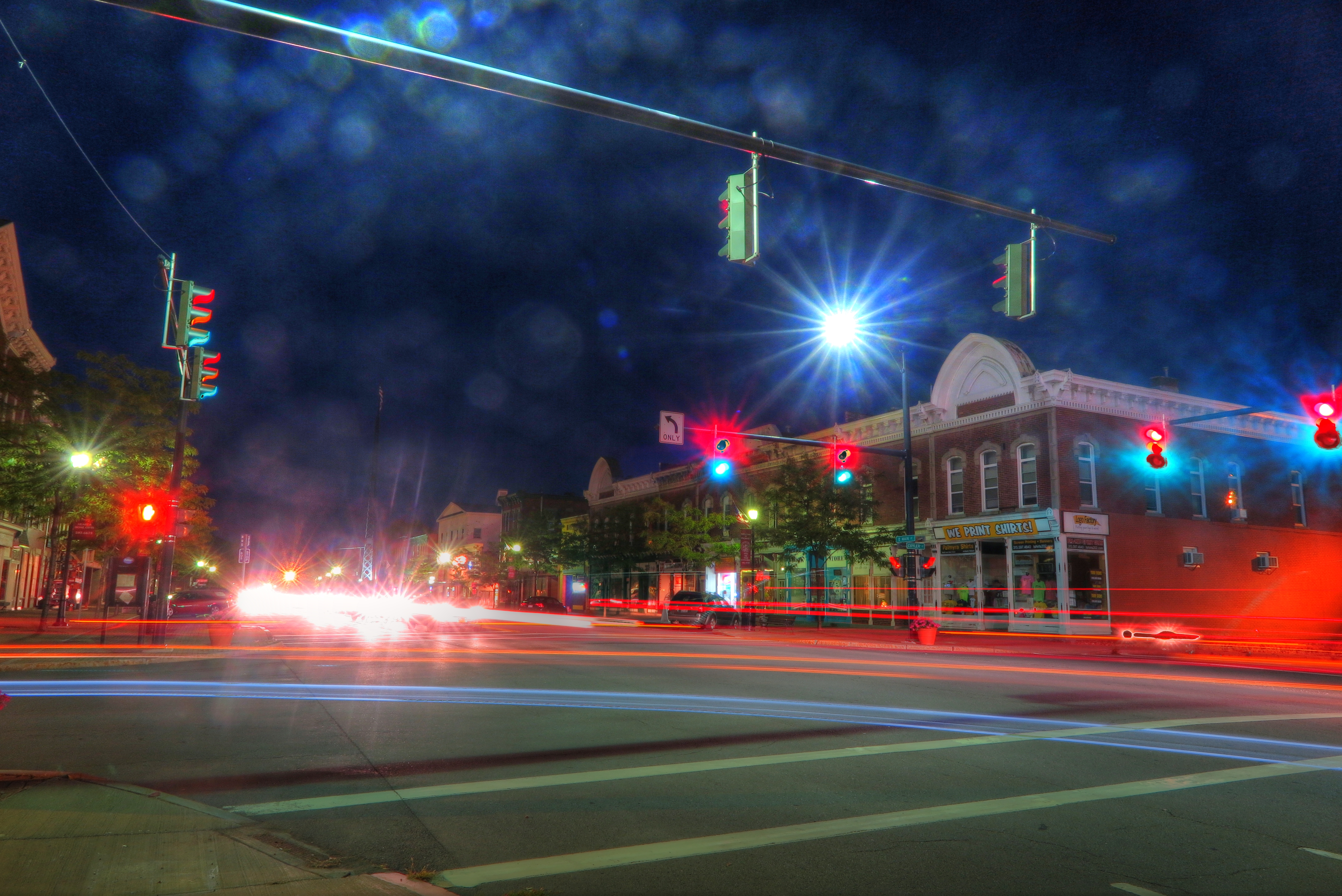
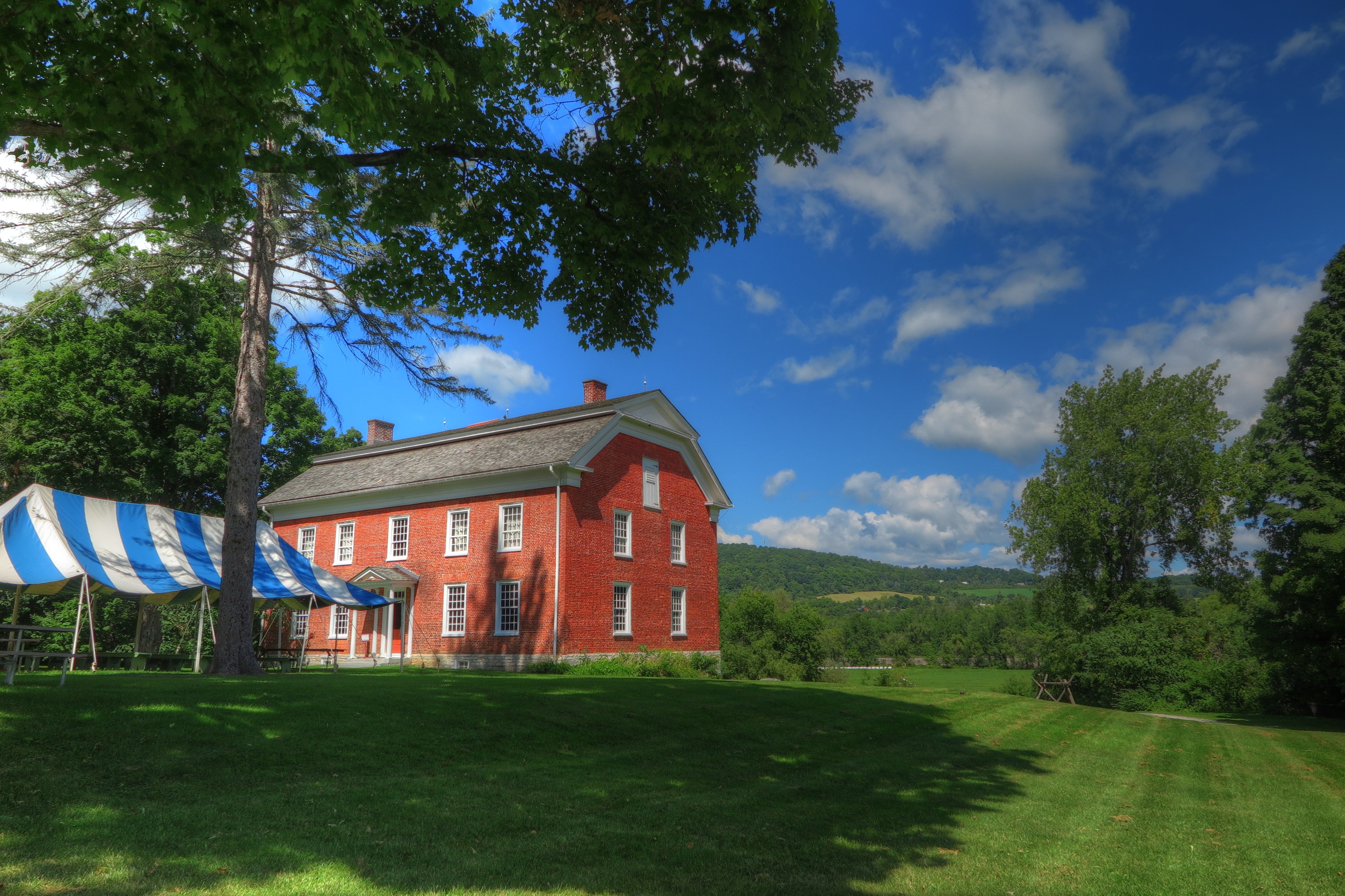
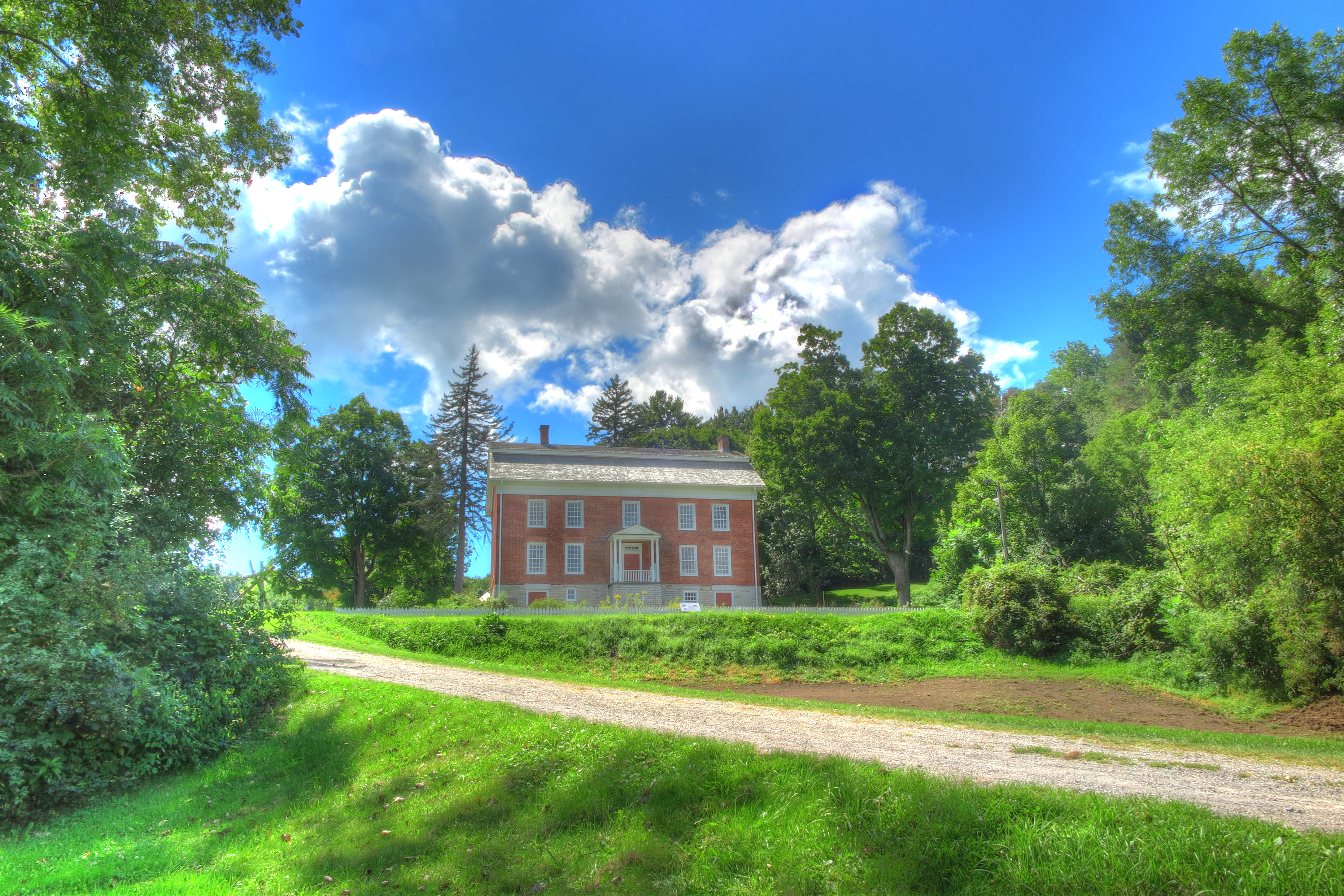
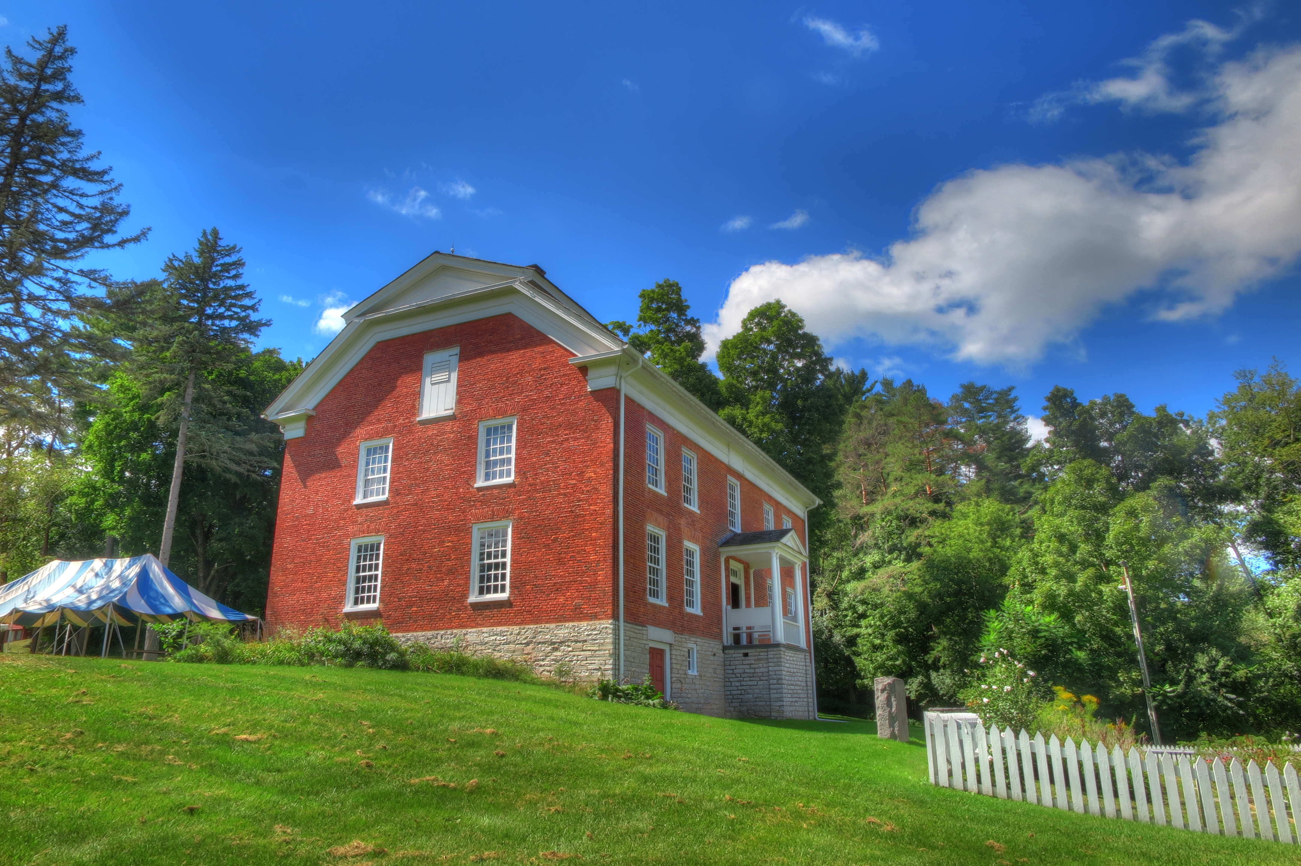
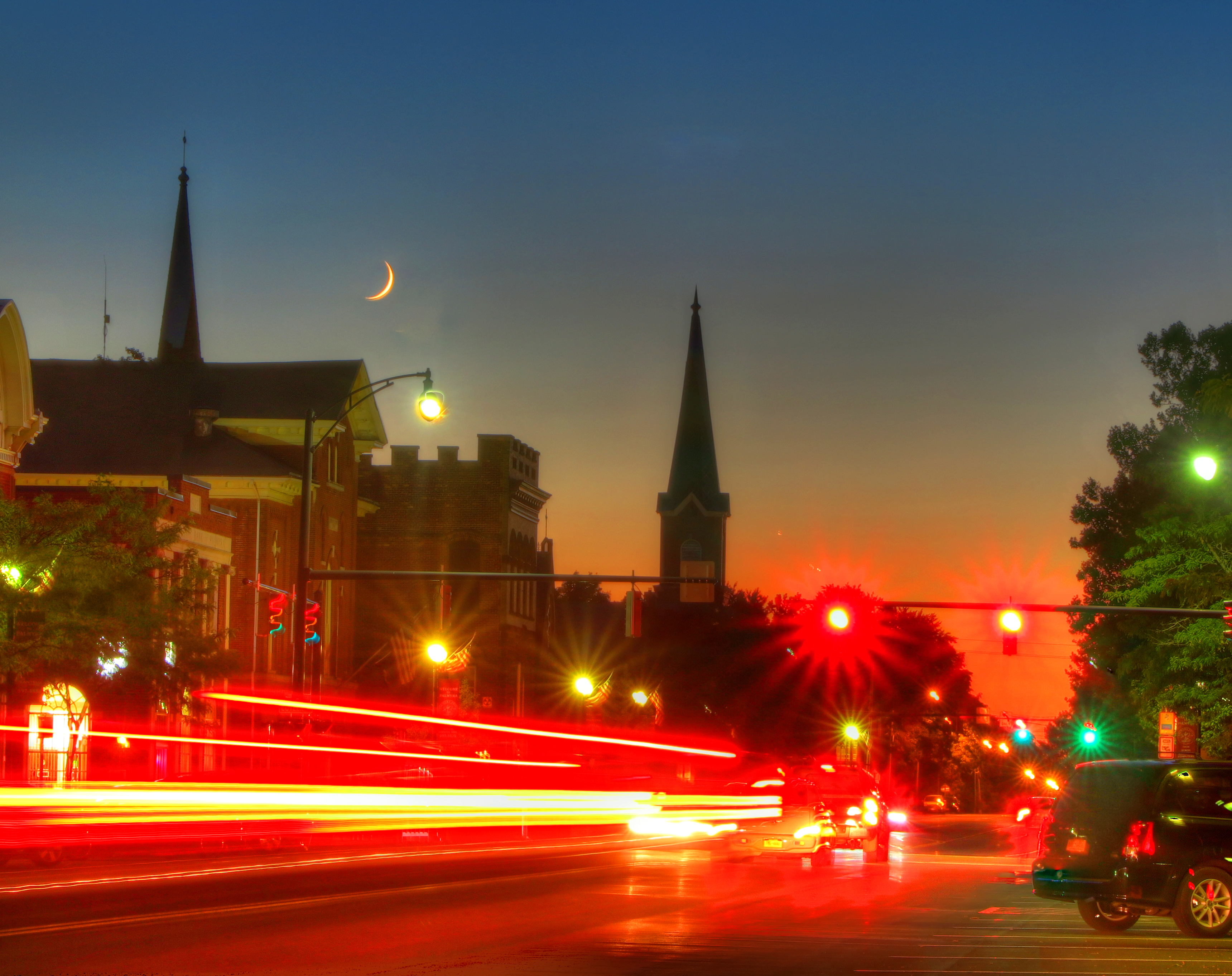 Amsterdam is a beautiful town.
  Day 8.. last day. Another beautiful day, we only have about 20 miles to Schenectady. We take a few roads to get to the trail, then, like most days, we are on and off the trail. We make one last photo stop at the last lock we’ll see.
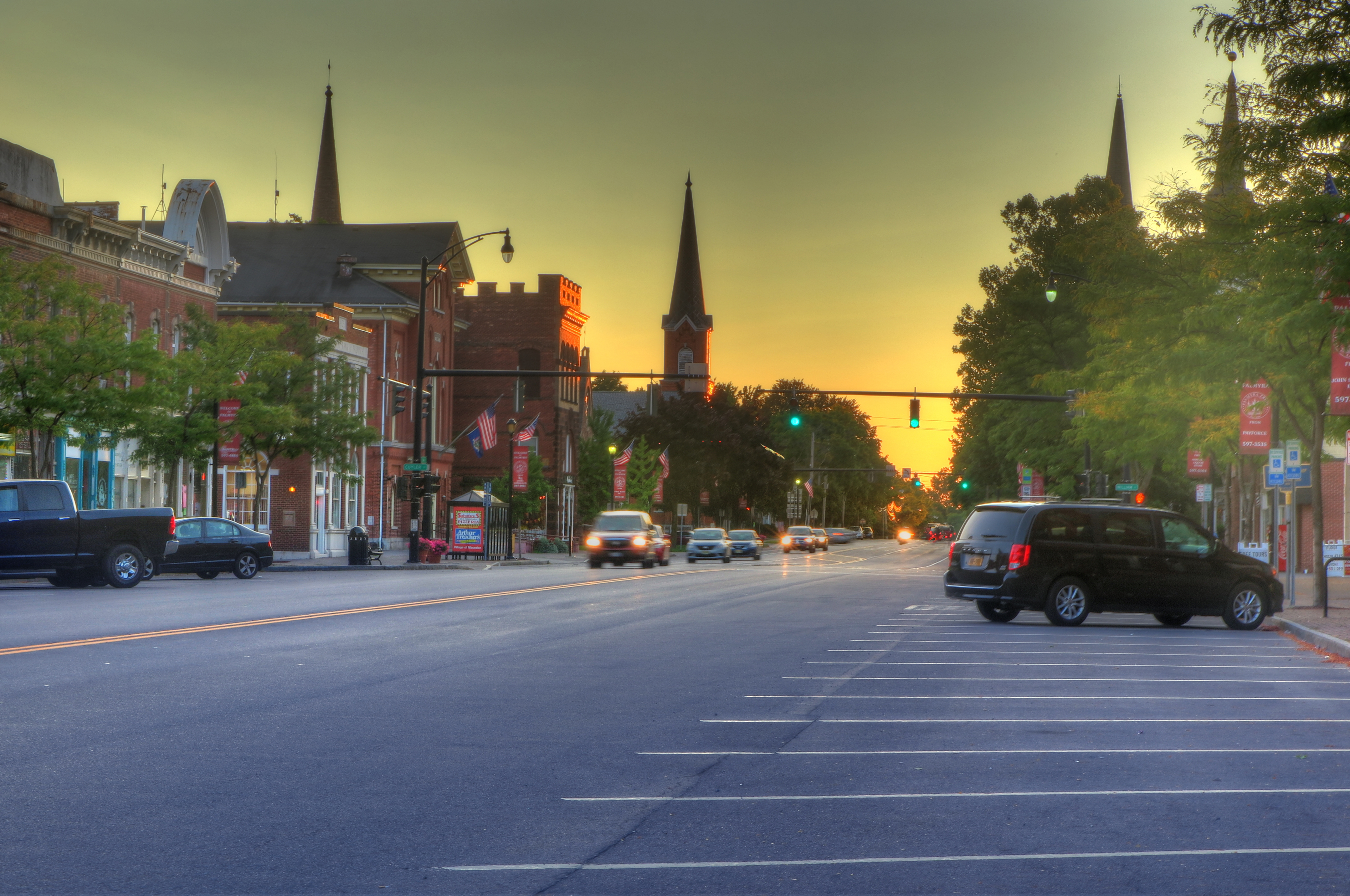
 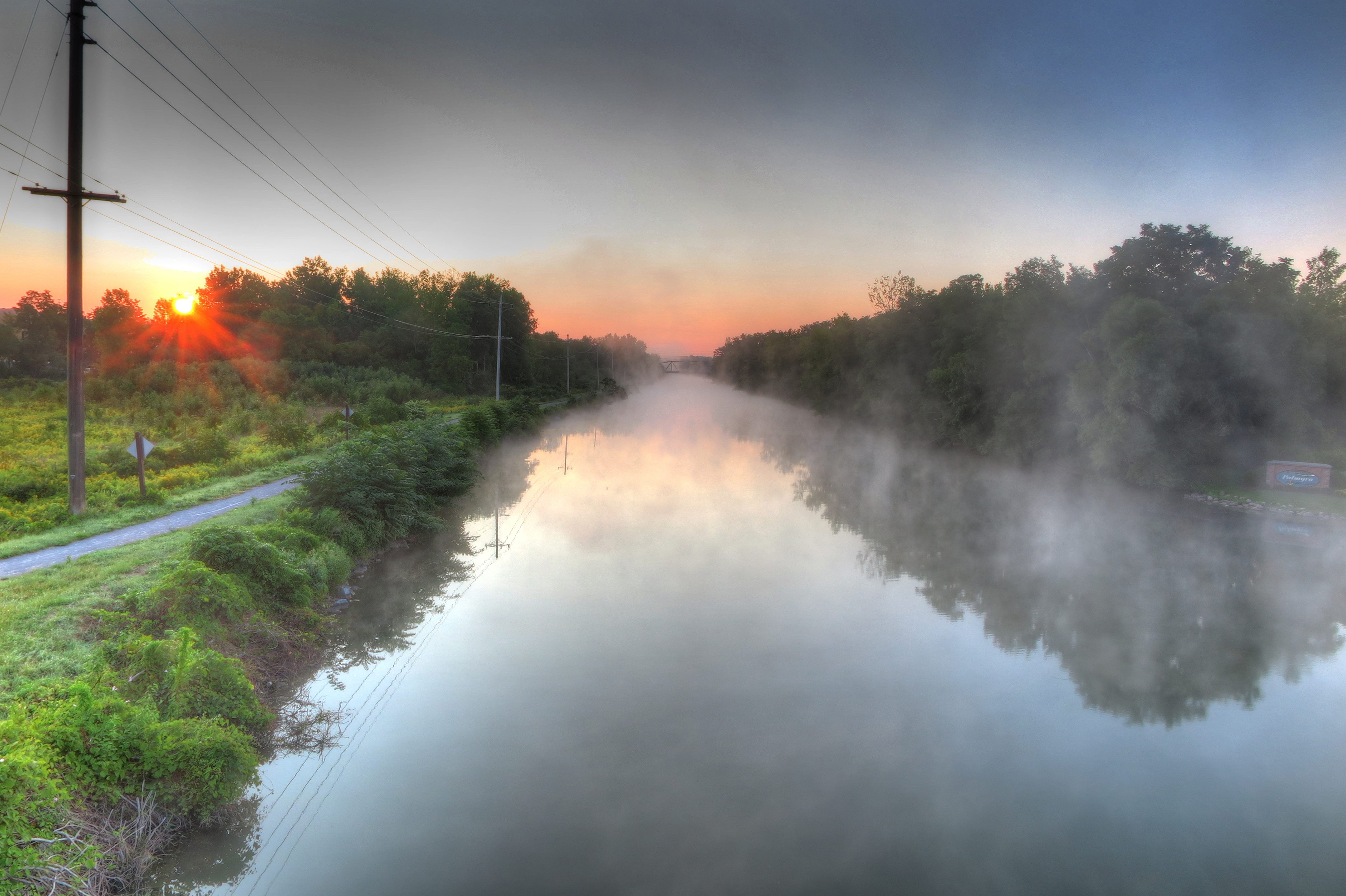 Sunrise on our last day of riding.
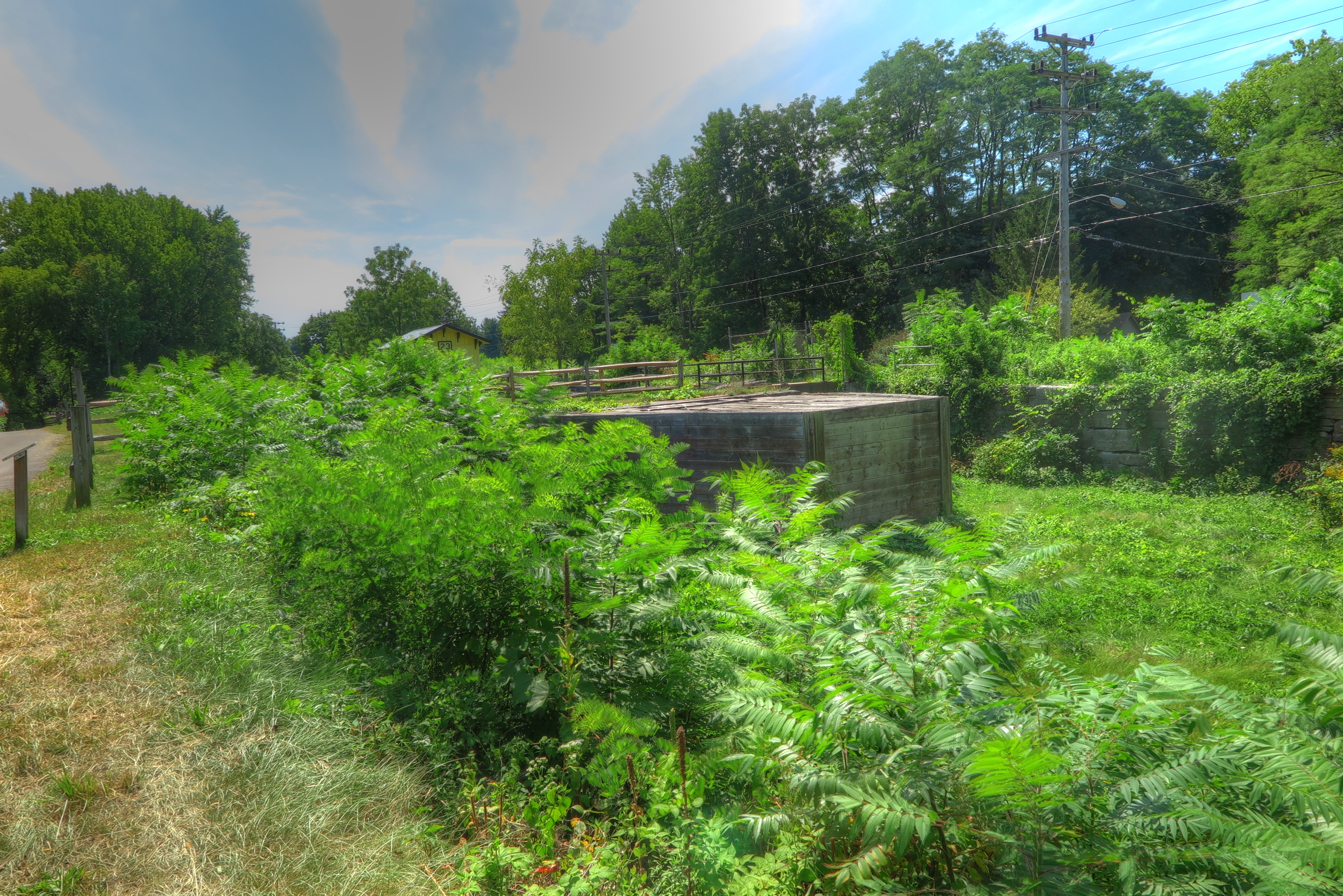
 We are taking our time, not wanting our journey to end and just as our butts are growing custom to the bike saddles, we arrive at the AmTrak station in Schenectady.